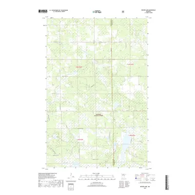
2019 Map of Decker Lake
USGS Topo · Published 2019About this map
The Chippewa National Forest defines the northern Minnesota landscape of this 2019 survey, where the border between Beltrami and Itasca counties crosses a dense network of wetlands and small glacial lakes. A sophisticated system of drainage is evident in the winding courses of Skimerhorn Cr and Everton Cr, which feed into larger bodies of water like Christenson Lake and Skimerhorn Lake. To the south, the terrain opens into a complex of interconnected basins including Decker Lake, Coleman Lake, and the meandering Third River. This area is characterized by its heavy concentration of peatlands and swamps, intersected by a grid of rural roads such as Old School Rd and Rabideau Lake Rd NE. Local landmarks like Chinaman Lake and Dollar Lake sit near the southern boundary, illustrating the distinctive naming conventions of the region's hydrography.
Find a feature on this map
33 named features on this map. Tap any name to fly to it.
Don’t see what you’re looking for? This feature index may not catch every label — zoom into the map to look around manually.
Map Details
Editions of this 2019 Decker Lake Map
This is the sole edition of this map. No revisions or reprints were ever made.
Other maps of this area

1919 · Rosy
USGS Topo · 1:62,500

1919 · Quiring
USGS Topo · 1:62,500

1919 · Bridgie
USGS Topo · 1:62,500

1924 · Bridgie
USGS Topo · 1:62,500

1954 · Bemidji
USGS Topo · 1:250,000

1957 · Bemidji
USGS Topo · 1:250,000

1958 · Bemidji
USGS Topo · 1:250,000

1971 · Dixon Lake
USGS Topo · 1:24,000

1971 · Gimmer Lake
USGS Topo · 1:24,000

1971 · Funkley
USGS Topo · 1:24,000