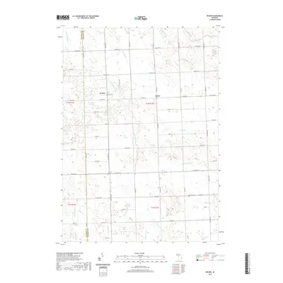
2019 Map of Decker
USGS Topo · Published 2019About this map
Decker and Hemans anchor this agricultural landscape along the border of Tuscola and Sanilac Counties. The terrain is defined by an intricate network of water management, with the S Br Cass River flowing through the northeast corner while numerous named drains, such as McCallum Drain, Schoolhouse Drain, and the McLish and Carpenter Drain, crisscross the farmlands. This system of ditches and creek branches like the N Br White Cr reveals the region's long-standing reliance on reclaimed land for productive agriculture.
Find a feature on this map
49 named features on this map. Tap any name to fly to it.
Don’t see what you’re looking for? This feature index may not catch every label — zoom into the map to look around manually.
Map Details
Editions of this 2019 Decker Map
This is the sole edition of this map. No revisions or reprints were ever made.
Other maps of this area

1954 · Flint
USGS Topo · 1:250,000

1958 · Flint
USGS Topo · 1:250,000

1963 · Snover
USGS Topo · 1:24,000

1963 · Clifford
USGS Topo · 1:24,000

1963 · Juhl
USGS Topo · 1:24,000

1963 · Marlette
USGS Topo · 1:24,000

1963 · Kingston
USGS Topo · 1:24,000

1963 · Cass City
USGS Topo · 1:24,000

1963 · Shabbona
USGS Topo · 1:24,000
1963 · Decker
USGS Topo · 1:24,000