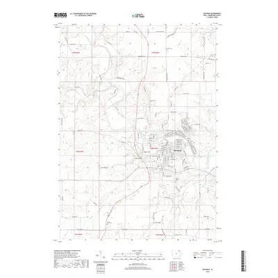
2018 Map of Decorah
USGS Topo · Published 2018About this map
Decorah serves as the focal point of this northeast Iowa landscape, situated along the winding curves of the Upper Iowa River. The town's layout reflects its relationship with the water, as tributaries like Dry Run and Trout Run converge nearby. Distinctive geological features such as Pulpit Rock and Malanaphy Springs define the river valley, which is crossed by notable structures including the Steyer Bridge. This 2018 survey reveals a well-connected network of rural roads like Co Hwy W38 and Canoe Ridge Rd that link the town to outlying areas.
Find a feature on this map
126 named features on this map. Tap any name to fly to it.
Don’t see what you’re looking for? This feature index may not catch every label — zoom into the map to look around manually.
Map Details
Editions of this 2018 Decorah Map
This is the sole edition of this map. No revisions or reprints were ever made.
Other maps of this area

1906 · Decorah
USGS Topo · 1:125,000

1958 · La Crosse
USGS Topo · 1:250,000

1961 · La Crosse
USGS Topo · 1:250,000

1965 · La Crosse
USGS Topo · 1:250,000

1975 · Decorah 4 NW
USGS Topo · 1:24,000

1975 · Decorah 1 NW
USGS Topo · 1:24,000

1975 · Decorah 2 NW
USGS Topo · 1:24,000

1975 · Decorah 1 SW
USGS Topo · 1:24,000

1975 · Decorah 3 NW
USGS Topo · 1:24,000
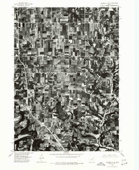
1975 · Decorah 2 NE
USGS Topo · 1:24,000