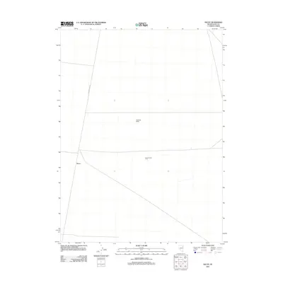
2012 Map of Decoy
USGS Topo · Published 2012About this map
Goshute Valley defines the wide, open character of this Elko County landscape, where transportation and basic boundary markers are the primary signs of human presence. The small settlement of Decoy sits near a junction of routes, including the RR Maintenance Rd, which underscores the importance of railway infrastructure in this desert region. A long horizontal line across the southern half of the map marks the Spruce Shafter Fence, a distinctive man-made feature that cuts across the valley floor. The map highlights a sparsely populated area of Nevada where land use is defined by large-scale boundaries and the maintenance of essential transit corridors.
Find a feature on this map
4 named features on this map. Tap any name to fly to it.
Don’t see what you’re looking for? This feature index may not catch every label — zoom into the map to look around manually.
Map Details
Editions of this 2012 Decoy Map
This is the sole edition of this map. No revisions or reprints were ever made.
Other maps of this area

1953 · Spruce Mountain 4
USGS Topo · 1:62,500

1955 · Elko
USGS Topo · 1:250,000

1958 · Elko
USGS Topo · 1:250,000

1962 · Elko
USGS Topo · 1:250,000

1965 · Elko
USGS Topo · 1:250,000

1968 · Independence Valley SE
USGS Topo · 1:24,000

1971 · West Morris Basin
USGS Topo · 1:24,000

1971 · Shafter
USGS Topo · 1:24,000

1971 · Decoy
USGS Topo · 1:24,000

1972 · Morgan Pass
USGS Topo · 1:24,000