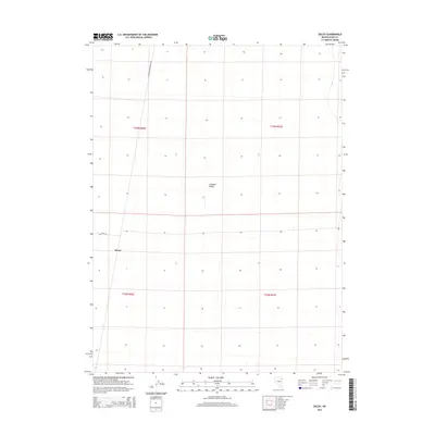
2014 Map of Decoy
USGS Topo · Published 2014About this map
Goshute Valley dominates the landscape of this high-desert region on the border of Elko County. The map focuses on the small settlement of Decoy, situated at the junction of local transit routes in a vast basin defined by geometric township and range lines. The presence of the Railroad Maintenance Rd running north-south indicates the critical role of rail infrastructure in navigating and maintaining this remote stretch of Nevada. Beyond the primary access of Decoy Rd, the terrain remains largely open, characterized by the expansive flats of the valley floor and minimal development, preserving the spatial layout of the Great Basin's rural outposts in the early 21st century.
Find a feature on this map
8 named features on this map. Tap any name to fly to it.
Don’t see what you’re looking for? This feature index may not catch every label — zoom into the map to look around manually.
Map Details
Editions of this 2014 Decoy Map
This is the sole edition of this map. No revisions or reprints were ever made.
Other maps of this area

1953 · Spruce Mountain 4
USGS Topo · 1:62,500

1955 · Elko
USGS Topo · 1:250,000

1958 · Elko
USGS Topo · 1:250,000

1962 · Elko
USGS Topo · 1:250,000

1965 · Elko
USGS Topo · 1:250,000

1968 · Independence Valley SE
USGS Topo · 1:24,000

1971 · West Morris Basin
USGS Topo · 1:24,000

1971 · Shafter
USGS Topo · 1:24,000

1971 · Decoy
USGS Topo · 1:24,000

1972 · Morgan Pass
USGS Topo · 1:24,000