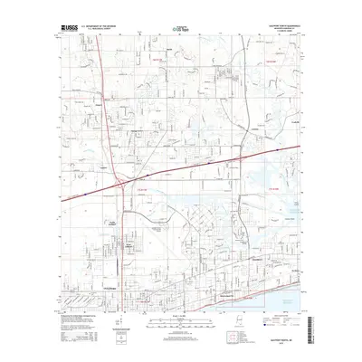
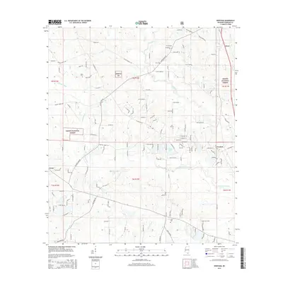
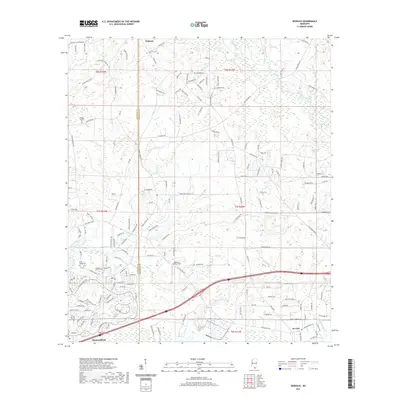
2024 Map of Dedeaux
USGS Topo · Published 2024About this map
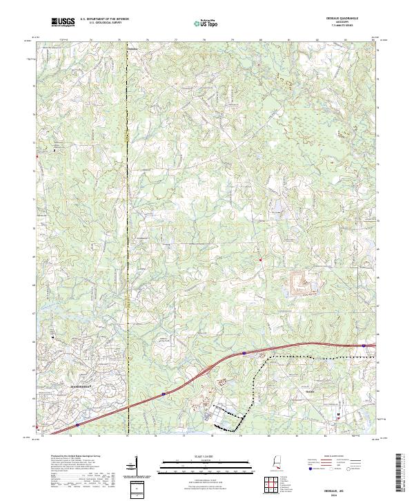
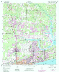
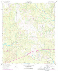
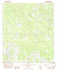
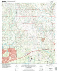
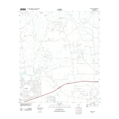
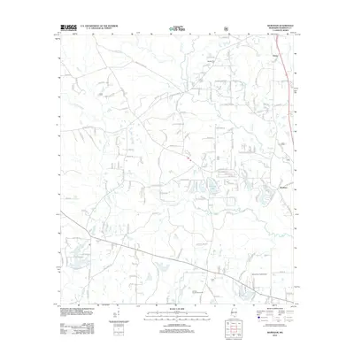
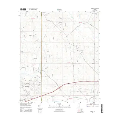
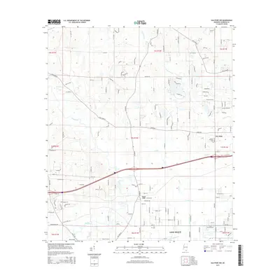
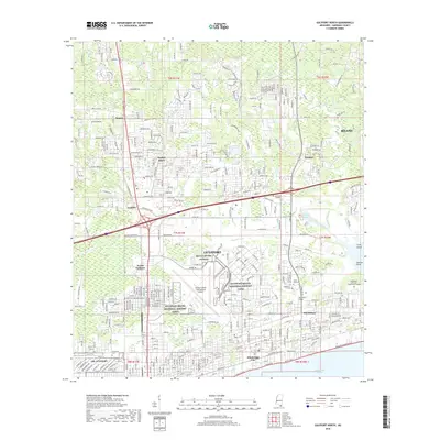
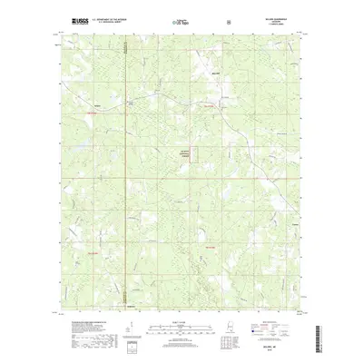
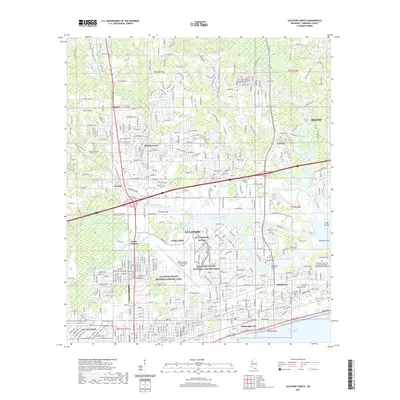
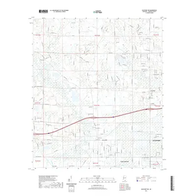
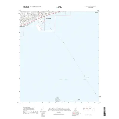
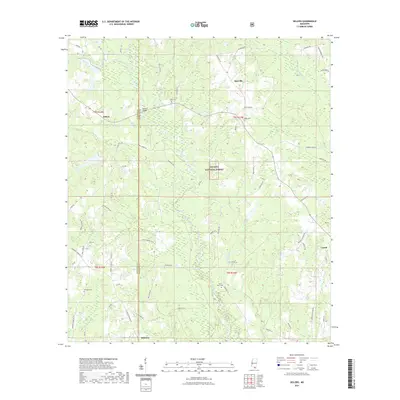
Wolf River and its meandering tributaries, including Sandy Creek, define the northern drainage of this Harrison County landscape. The settlement pattern reflects the transition from the interior community of Dedeaux toward the coastal development of Diamondhead and DeLisle to the south. Local history is anchored by sites such as the Alphonse G Malley Memorial Cem and Saint Joseph Cem, while the interior remains marked by a dense network of family-named roads like Hubert Dedeaux Rd and Fenton Dedeaux Rd. The southern reach of the map touches the waters of Saint Louis Bay, where De Lisle Bayou and Rotten Bayou meet the coast. This contemporary survey captures the modern road network and land divisions surrounding Addison-Henley Field, illustrating how the region has integrated residential growth with its traditional wooded and riparian corridors.
Find a feature on this map
170 named features on this map. Tap any name to fly to it.
Don’t see what you’re looking for? This feature index may not catch every label — zoom into the map to look around manually.
Map Details
Editions of this 2024 Dedeaux Map
This is the sole edition of this map. No revisions or reprints were ever made.
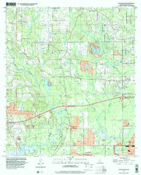
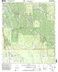
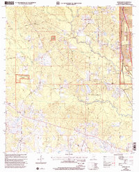
Historical Maps of Diamondhead Through Time
86 maps found
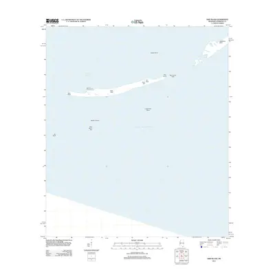
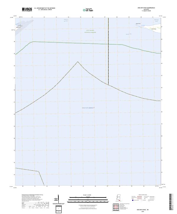
1950 Dog Keys Pass
Harrison County, MS
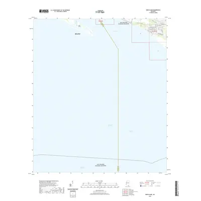
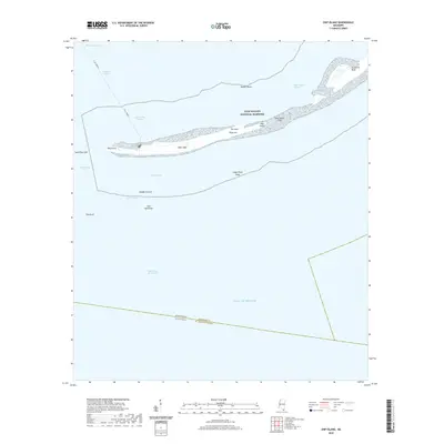
1950 Ship Island
Harrison County, MS
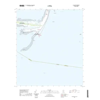
1951 Cat Island
Harrison County, MS

1954 Deer Island
Harrison County, MS
1954 Gulfport North
Harrison County, MS
1954 Gulfport South
Harrison County, MS
1954 McHenry
Harrison County, MS
1956 Gulfport NW
Harrison County, MS
1956 Vidalia
Harrison County, MS
1982 Sellers
Harrison County, MS
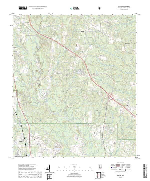
1982 Success
Harrison County, MS
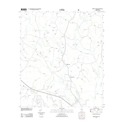
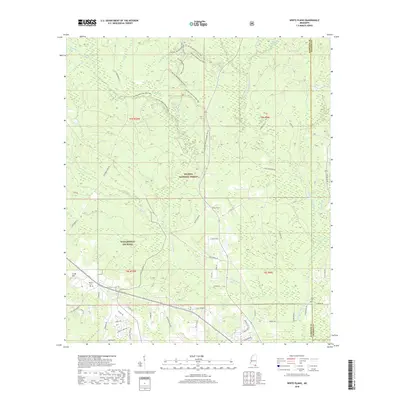
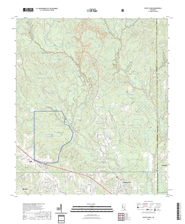
1982 White Plains
Harrison County, MS
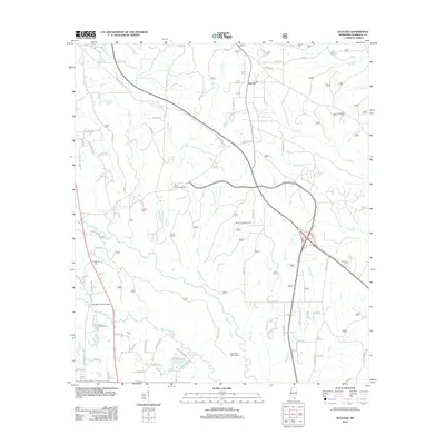
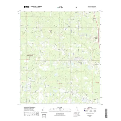
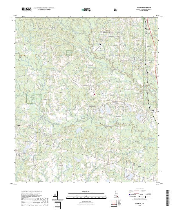
1983 Wortham
Harrison County, MS
1994 Cat Island
Harrison County, MS
1994 Gulfport North
Harrison County, MS
1994 Gulfport South
Harrison County, MS
1997 Dedeaux
Harrison County, MS
1997 Gulfport NW
Harrison County, MS
2000 Success
Harrison County, MS
2000 Wortham
Harrison County, MS
2012 Cat Island
Harrison County, MS
2012 Dedeaux
Harrison County, MS
2012 Deer Island
Harrison County, MS
2012 Dog Keys Pass
Harrison County, MS
2012 Gulfport North
Harrison County, MS
2012 Gulfport NW
Harrison County, MS
2012 Gulfport South
Harrison County, MS
2012 Sellers
Harrison County, MS
2012 Ship Island
Harrison County, MS
2012 Success
Harrison County, MS
2012 White Plains
Harrison County, MS
2012 Wortham
Harrison County, MS
2015 Cat Island
Harrison County, MS
2015 Dedeaux
Harrison County, MS
2015 Deer Island
Harrison County, MS
2015 Dog Keys Pass
Harrison County, MS
2015 Gulfport North
Harrison County, MS
2015 Gulfport NW
Harrison County, MS
2015 Gulfport South
Harrison County, MS
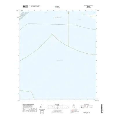
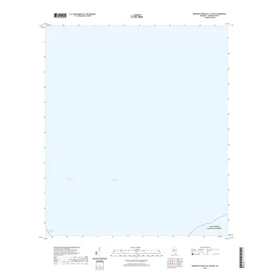
2015 Mississippi Sound (All Water)
Harrison County, MS
2015 Sellers
Harrison County, MS
2015 Ship Island
Harrison County, MS
2015 Success
Harrison County, MS
2015 White Plains
Harrison County, MS
2015 Wortham
Harrison County, MS
2018 Cat Island
Harrison County, MS
2018 Dedeaux
Harrison County, MS
2018 Deer Island
Harrison County, MS
2018 Dog Keys Pass
Harrison County, MS
2018 Gulfport North
Harrison County, MS
2018 Gulfport NW
Harrison County, MS
2018 Gulfport South
Harrison County, MS
2018 Mississippi Sound (All Water)
Harrison County, MS
2018 Sellers
Harrison County, MS
2018 Ship Island
Harrison County, MS
2018 Success
Harrison County, MS
2018 White Plains
Harrison County, MS
2018 Wortham
Harrison County, MS
2020 Cat Island
Harrison County, MS
2020 Deer Island
Harrison County, MS
2020 Dog Keys Pass
Harrison County, MS
2020 Mississippi Sound (All Water)
Harrison County, MS
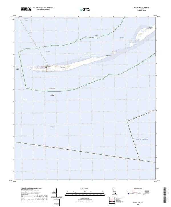
2020 Ship Island
Harrison County, MS
2021 Dedeaux
Harrison County, MS
2021 Gulfport North
Harrison County, MS
2021 Gulfport NW
Harrison County, MS
2021 Gulfport South
Harrison County, MS
2021 Sellers
Harrison County, MS
2021 Success
Harrison County, MS
2021 White Plains
Harrison County, MS
2021 Wortham
Harrison County, MS
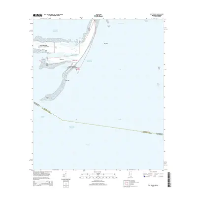
2024 Cat Island
Harrison County, MS
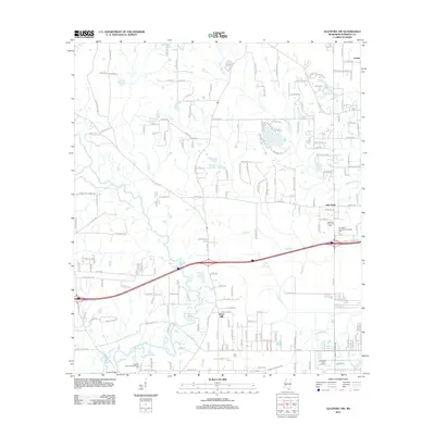
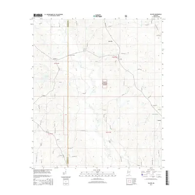
2024 Dedeaux
Harrison County, MS
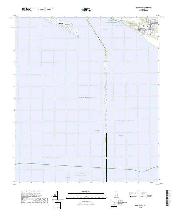
2024 Deer Island
Harrison County, MS
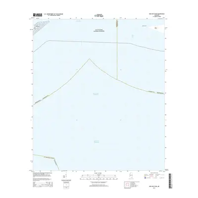
2024 Dog Keys Pass
Harrison County, MS
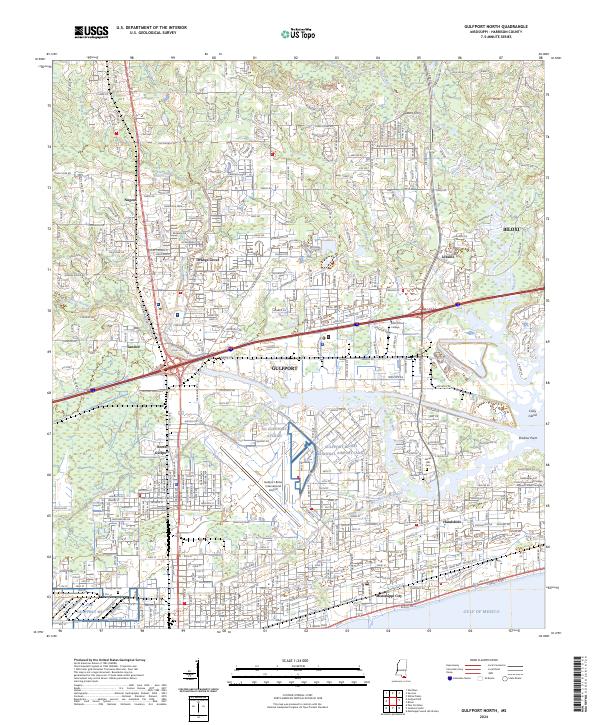
2024 Gulfport North
Harrison County, MS
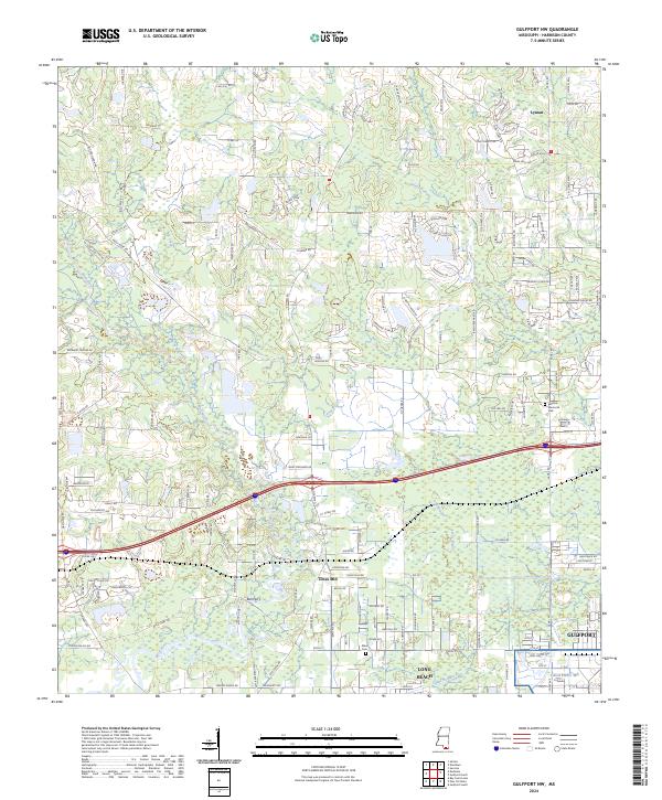
2024 Gulfport NW
Harrison County, MS
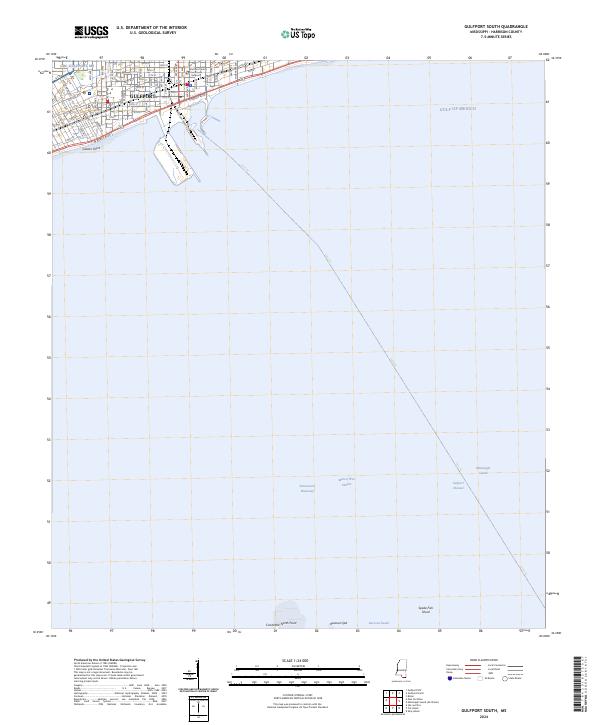
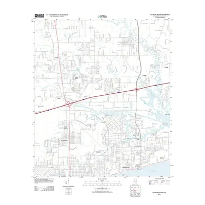
2024 Gulfport South
Harrison County, MS
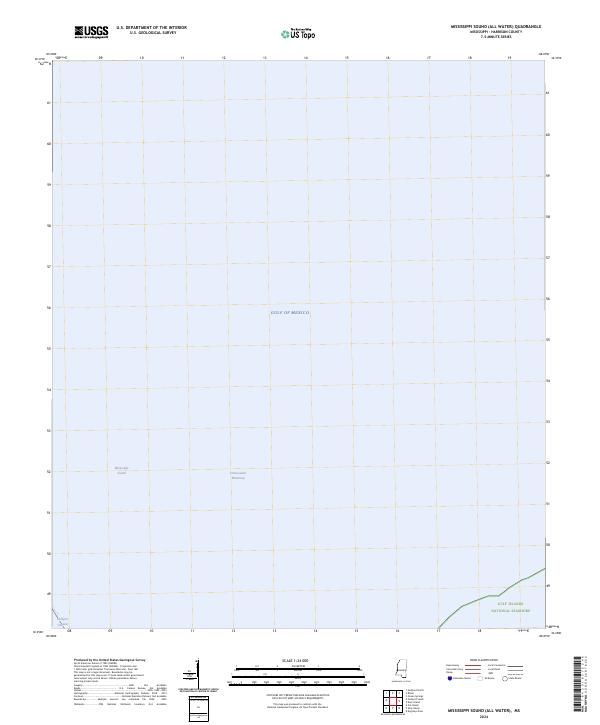
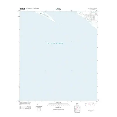
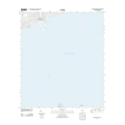
2024 Mississippi Sound (All Water)
Harrison County, MS
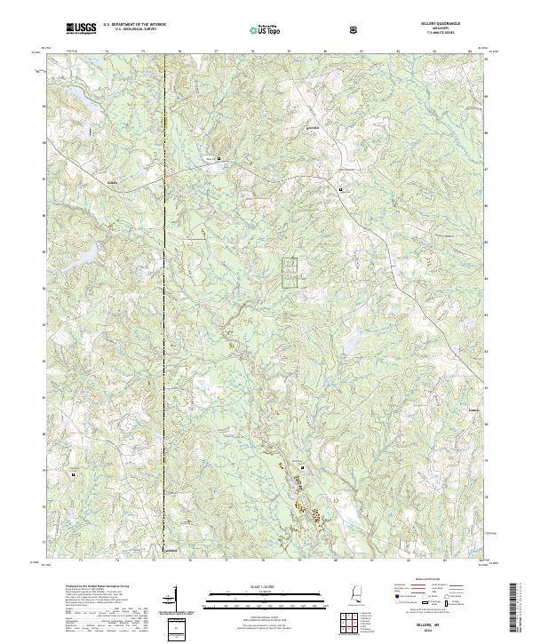
2024 Sellers
Harrison County, MS
2024 Ship Island
Harrison County, MS
2024 Success
Harrison County, MS
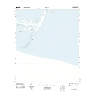
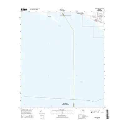
2024 White Plains
Harrison County, MS
2024 Wortham
Harrison County, MS
2025 Dog Keys Pass
Harrison County, MS
2025 Ship Island
Harrison County, MS