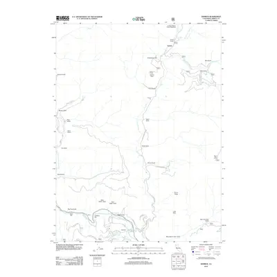
2012 Map of Dedrick
USGS Topo · Published 2012About this map
Canyon Creek flows southward through the heart of this Trinity County landscape, acting as the primary drainage for a series of named gulches including Jones Gulch, Fisher Gulch, and Rarick Gulch. The settlement of Dedrick sits in the northern reaches, while the small community of Helena is situated at the southern edge where the creek meets the Trinity River. This area is defined by its gold mining history and river-bottom geography, evident in labels for river features like Idaho Bar and Coopers Bar. Upland landmarks such as Dedrick Lookout and Weaver Bally Lookout suggest the importance of fire observation and land management in this heavily forested region. A network of primitive roads, including Canyon Creek Rd and Barney Gulch Rd, provides access to these isolated canyons and ridges like Tunnel Ridge and Red Hill.
Find a feature on this map
53 named features on this map. Tap any name to fly to it.
Don’t see what you’re looking for? This feature index may not catch every label — zoom into the map to look around manually.
Map Details
Editions of this 2012 Dedrick Map
This is the sole edition of this map. No revisions or reprints were ever made.
Other maps of this area
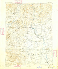
1890 · Red Bluff
USGS Topo · 1:250,000
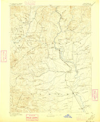
1894 · Red Bluff
USGS Topo · 1:250,000
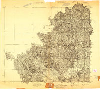
1909 · Big Bar
USGS Topo · 1:96,000
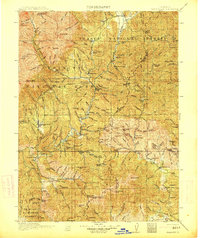
1913 · Weaverville
USGS Topo · 1:125,000
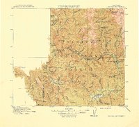
1915 · Big Bar and Vicinity
USGS Topo · 1:250,000
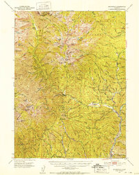
1950 · Minersville
USGS Topo · 1:62,500
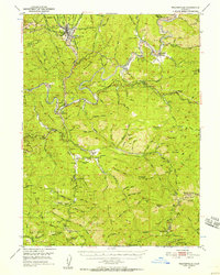
1950 · Weaverville
USGS Topo · 1:62,500
1951 · Hayfork
USGS Topo · 1:62,500
1951 · Helena
USGS Topo · 1:62,500
1952 · Weaverville
USGS Topo · 1:62,500