
1962 Map of Deep Creek Canyon
USGS Topo · Published 1963About this map
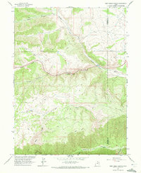
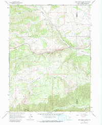
Currant Creek flows through a dramatic landscape of deep drainages and ridges along the Wasatch Co Duchesne Co boundary. This early 1960s survey reveals a remote high-country environment defined by its water resources and network of rudimentary transportation. A notable Fishpond is situated near the center of the quadrangle, where the creek bends through Deep Creek Canyon. The terrain is deeply incised by numerous named draws including Wildcat Canyon, Beaver Canyon, and Slab Canyon, while the Strawberry River makes its way across the southern reaches. This era was characterized by utility infrastructure, evidenced by the presence of a Telephone line and various Jeep Trails that provided access through the steep elevations. The map provides precise elevation data for landmarks such as VABM Water 7994, grounding this western landscape in its mid-century state.
Find a feature on this map
22 named features on this map. Tap any name to fly to it.
Don’t see what you’re looking for? This feature index may not catch every label — zoom into the map to look around manually.
Map Details
Editions of this 1962 Deep Creek Canyon Map
3 editions found
Other maps of this area

1885 · Salt Lake
USGS Topo · 1:250,000

1885 · Uinta
USGS Topo · 1:250,000

1907 · Strawberry Valley
USGS Topo · 1:125,000

1909 · Strawberry Valley
USGS Topo · 1:125,000

1954 · Salt Lake City
USGS Topo · 1:250,000

1958 · Salt Lake City
USGS Topo · 1:250,000

1960 · Salt Lake City
USGS Topo · 1:250,000

1962 · Fruitland
USGS Topo · 1:24,000

1962 · Raspberry Knoll
USGS Topo · 1:24,000
1962 · Strawberry Peak
USGS Topo · 1:24,000