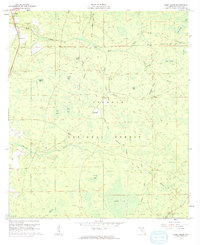
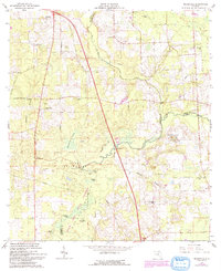
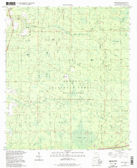
1961 Map of Deep Creek
USGS Topo · Published 1962This historical map portrays the area of Deep Creek in 1961, primarily covering Columbia County. Featuring a scale of 1:24000, this map provides a highly detailed snapshot of the terrain, roads, buildings, counties, and historical landmarks in the Deep Creek region at the time. Published in 1962, it is one of 2 known editions of this map due to revisions or reprints.
Find a feature on this map
34 named features on this map. Tap any name to fly to it.
Don’t see what you’re looking for? This feature index may not catch every label — zoom into the map to look around manually.
Map Details
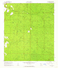
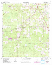
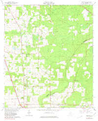
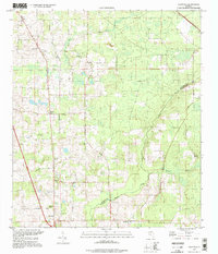
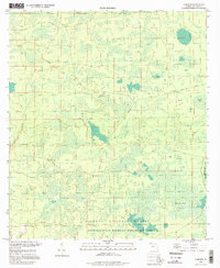
Editions of this 1961 Deep Creek Map
2 editions found
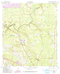
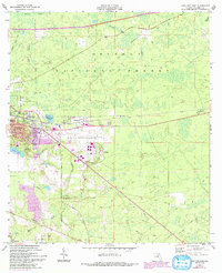
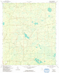
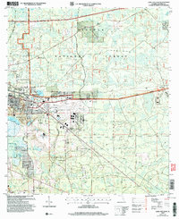
Historical Maps of Florida Through Time
13 maps found
1961 Deep Creek
Columbia County, FL
1961 White Springs East
Columbia County, FL
1962 Lake City East
Columbia County, FL
1962 Mikesville
Columbia County, FL
1963 Columbia
Columbia County, FL
1963 Ellisville
Columbia County, FL

1963 Lake City West
Columbia County, FL
1969 Fairview
Columbia County, FL
1994 Deep Creek
Columbia County, FL
1994 Ellisville
Columbia County, FL
1994 Fairview
Columbia County, FL

2005 Deep Creek
Columbia County, FL
2005 Lake City East
Columbia County, FL