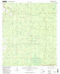
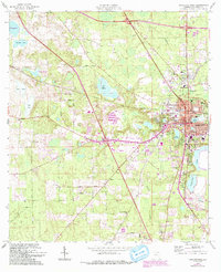
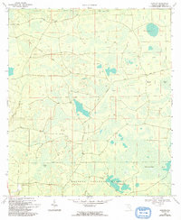
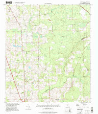
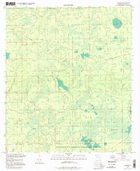
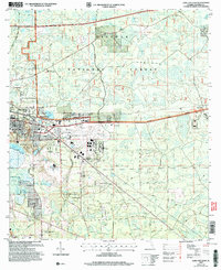
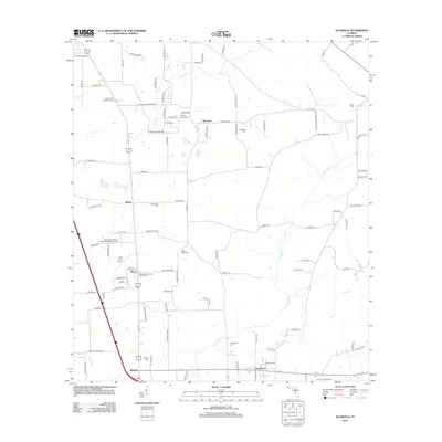
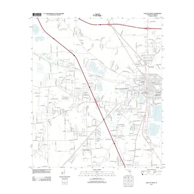
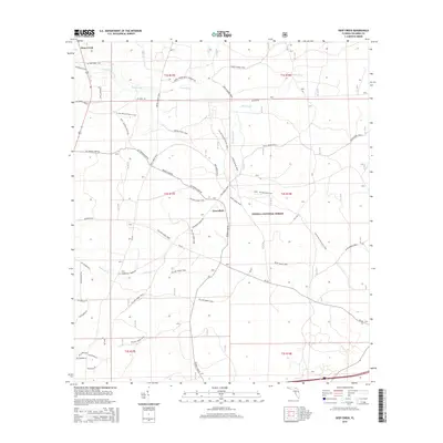
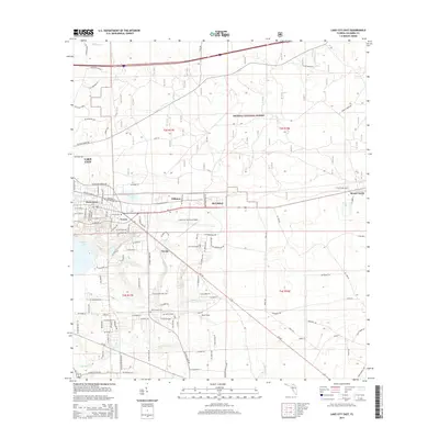
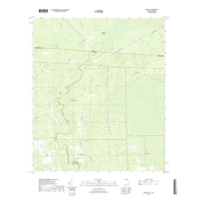
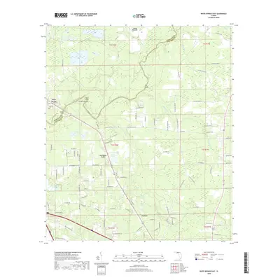
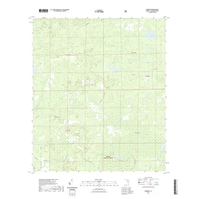
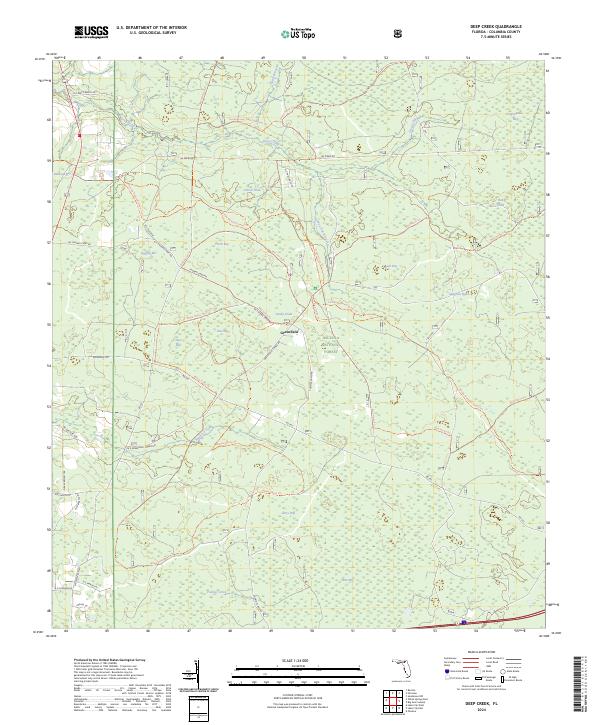
1994 Map of Deep Creek
USGS Topo · Published 1998About this map
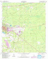
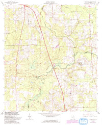
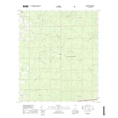
Osceola National Forest and the Osceola State Wildlife Management Area dominate this landscape in north-central Florida, revealing a vast network of wetlands and seasonal drainages. The terrain is defined by numerous shallow depressions known locally as bays, including Impossible Bay, Turtle Bay, and Bear Bay. The presence of an Old Railroad Grade cutting through these swamps speaks to the region's history of timber extraction, once supported by rail infrastructure.
Find a feature on this map
29 named features on this map. Tap any name to fly to it.
Don’t see what you’re looking for? This feature index may not catch every label — zoom into the map to look around manually.
Map Details
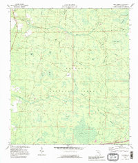
Editions of this 1994 Deep Creek Map
2 editions found
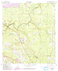
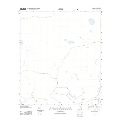
Historical Maps of Greenfield Through Time
59 maps found
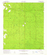
1961 Deep Creek
Columbia County, FL
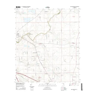
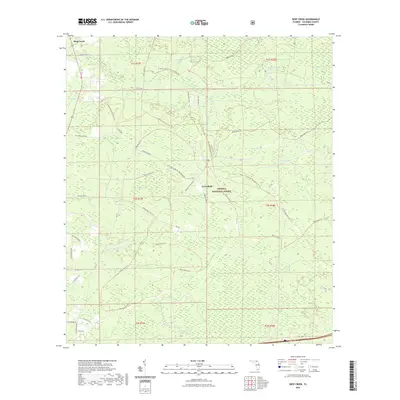
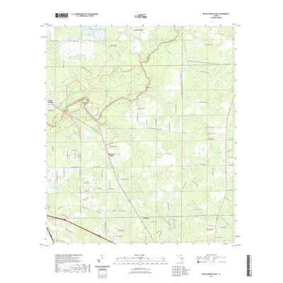
1961 White Springs East
Columbia County, FL
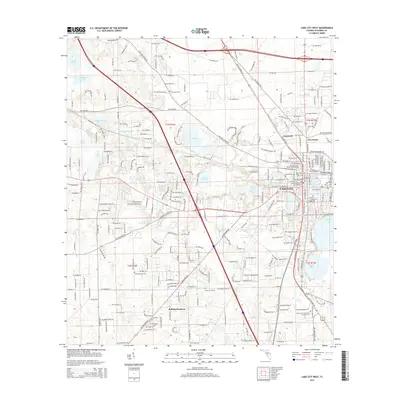
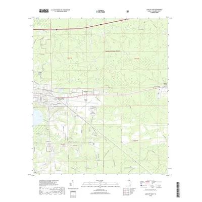
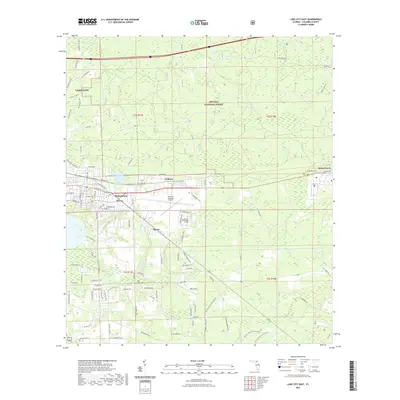
1962 Lake City East
Columbia County, FL
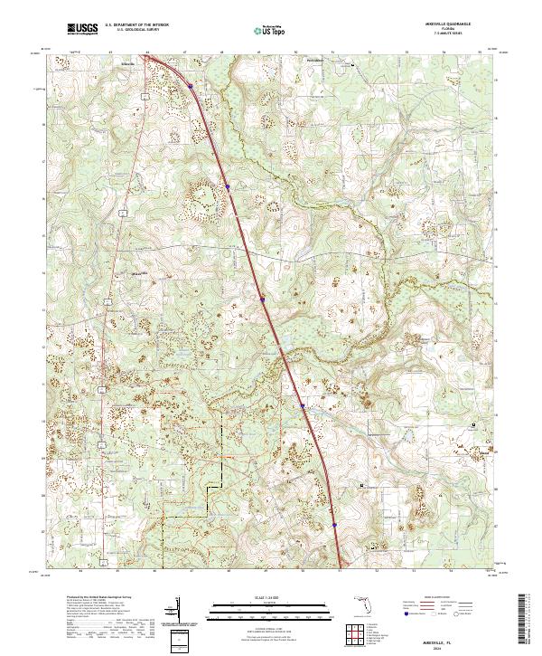
1962 Mikesville
Columbia County, FL
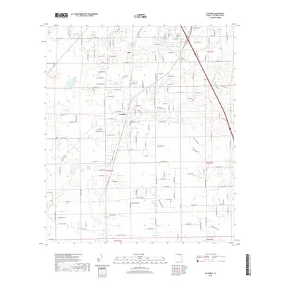
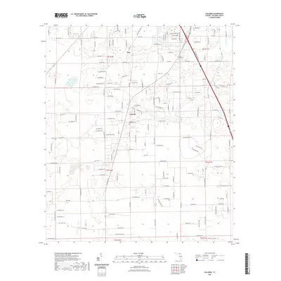
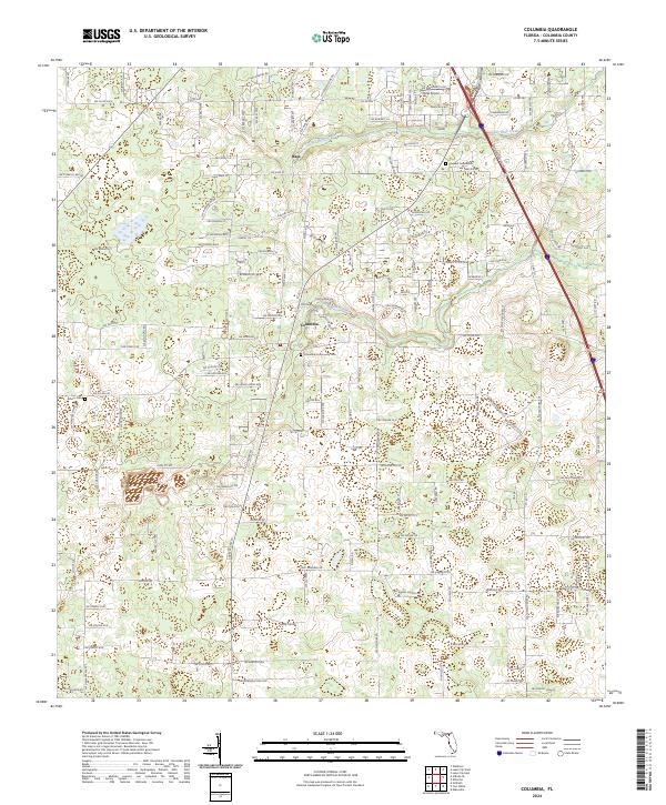
1963 Columbia
Columbia County, FL
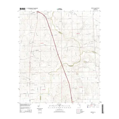
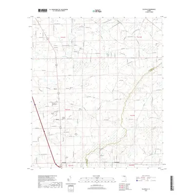
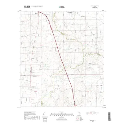
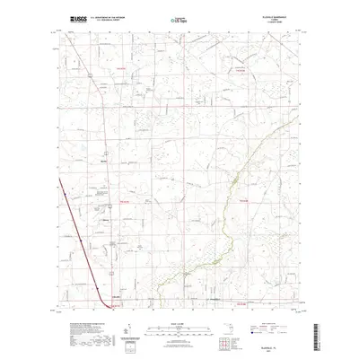
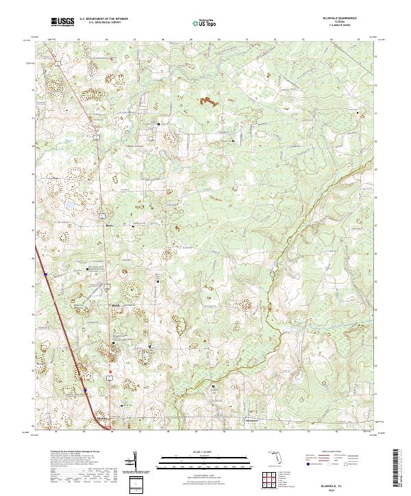
1963 Ellisville
Columbia County, FL
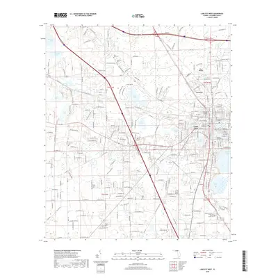
1963 Lake City West
Columbia County, FL
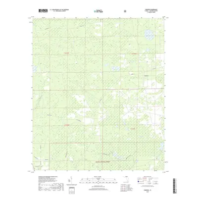
1969 Fairview
Columbia County, FL
1994 Deep Creek
Columbia County, FL
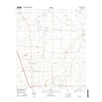
1994 Ellisville
Columbia County, FL
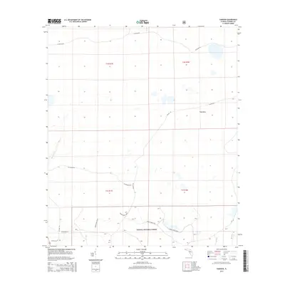
1994 Fairview
Columbia County, FL

2005 Deep Creek
Columbia County, FL
2005 Lake City East
Columbia County, FL
2011 Fargo SW
Columbia County, FL
2012 Columbia
Columbia County, FL
2012 Deep Creek
Columbia County, FL
2012 Ellisville
Columbia County, FL
2012 Fairview
Columbia County, FL
2012 Fargo SW
Columbia County, FL
2012 Lake City East
Columbia County, FL
2012 Lake City West
Columbia County, FL
2012 Mikesville
Columbia County, FL
2012 White Springs East
Columbia County, FL
2015 Columbia
Columbia County, FL
2015 Deep Creek
Columbia County, FL
2015 Ellisville
Columbia County, FL
2015 Fairview
Columbia County, FL
2015 Fargo SW
Columbia County, FL
2015 Lake City East
Columbia County, FL
2015 Lake City West
Columbia County, FL
2015 Mikesville
Columbia County, FL
2015 White Springs East
Columbia County, FL
2018 Columbia
Columbia County, FL
2018 Deep Creek
Columbia County, FL
2018 Ellisville
Columbia County, FL
2018 Fairview
Columbia County, FL
2018 Fargo SW
Columbia County, FL
2018 Lake City East
Columbia County, FL
2018 Lake City West
Columbia County, FL
2018 Mikesville
Columbia County, FL
2018 White Springs East
Columbia County, FL
2021 Columbia
Columbia County, FL
2021 Deep Creek
Columbia County, FL
2021 Ellisville
Columbia County, FL
2021 Fairview
Columbia County, FL

2021 Fargo SW
Columbia County, FL
2021 Lake City East
Columbia County, FL
2021 Lake City West
Columbia County, FL
2021 Mikesville
Columbia County, FL
2021 White Springs East
Columbia County, FL
2024 Columbia
Columbia County, FL
2024 Deep Creek
Columbia County, FL
2024 Ellisville
Columbia County, FL
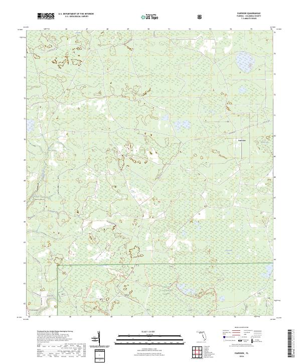
2024 Fairview
Columbia County, FL
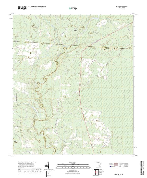
2024 Fargo SW
Columbia County, FL
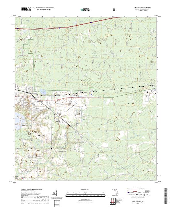
2024 Lake City East
Columbia County, FL
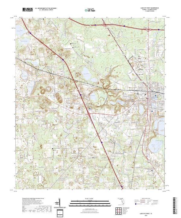
2024 Lake City West
Columbia County, FL
2024 Mikesville
Columbia County, FL
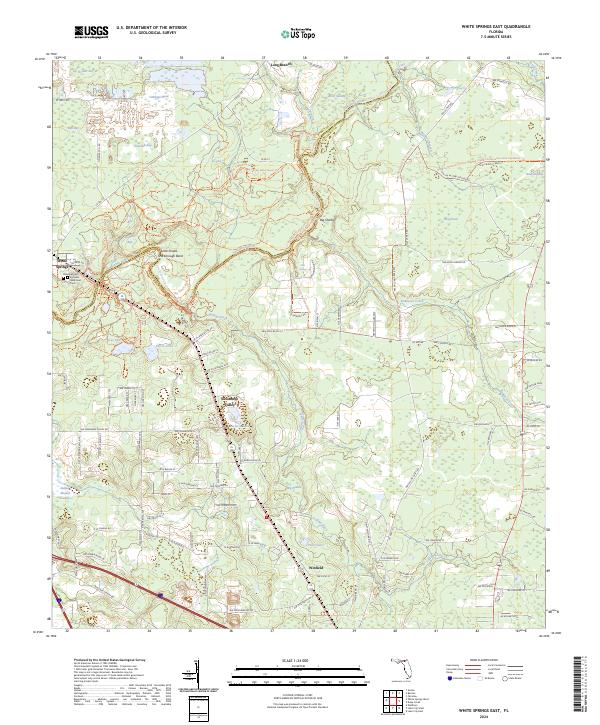
2024 White Springs East
Columbia County, FL