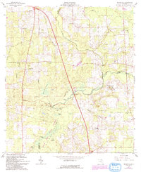
1962 Map of Mikesville
USGS Topo · Published 1993About this map
The Santa Fe River disappears underground in this part of North Florida, creating a unique hydrological landscape where the river flows into the River Sink and re-emerges within the River Rise State Preserve. The surrounding terrain is defined by dramatic sinkhole activity and cypress wetlands, including Robinson Sinks and Buzzard Roost Prairie. In the early 1960s, this area remained largely rural, anchored by small settlements like Mikesville and Ellisville along the primary north-south corridor.
Find a feature on this map
37 named features on this map. Tap any name to fly to it.
Don’t see what you’re looking for? This feature index may not catch every label — zoom into the map to look around manually.
Map Details
Editions of this 1962 Mikesville Map
3 editions found
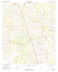
Other maps of this area

1954 · Gainesville
USGS Topo · 1:250,000

1954 · Valdosta
USGS Topo · 1:250,000

1958 · Valdosta
USGS Topo · 1:250,000

1958 · Gainesville
USGS Topo · 1:250,000

1959 · Valdosta
USGS Topo · 1:250,000

1959 · Gainesville
USGS Topo · 1:250,000

1962 · High Springs
USGS Topo · 1:24,000

1962 · Mikesville
USGS Topo · 1:24,000

1963 · Ellisville
USGS Topo · 1:24,000

1963 · Columbia
USGS Topo · 1:24,000