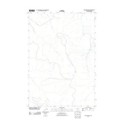
2011 Map of Deep Creek SW
USGS Topo · Published 2011About this map
Pryor Creek and its tributary, East Pryor Creek, define the lower drainage system of this Big Horn County landscape during the early 2010s. The terrain is characterized by a complex network of seasonal and perennial watercourses, where the headwaters of Smallpox Creek and Middle Creek flow northward. A significant hydrological feature is Crater Lake, situated centrally among the drainages of Lost Creek and Hay Creek. The naming conventions found here, such as Smallpox Creek, reflect a landscape tied to the historical geography of the Crow Reservation region. This survey captures the rural character of the area as it existed before contemporary shifts in land use, showing the intricate relationship between the elevated topography and the small creeks like Shively Creek that move water through the valley floors.
Find a feature on this map
8 named features on this map. Tap any name to fly to it.
Don’t see what you’re looking for? This feature index may not catch every label — zoom into the map to look around manually.
Map Details
Editions of this 2011 Deep Creek SW Map
This is the sole edition of this map. No revisions or reprints were ever made.
Other maps of this area

1954 · Billings
USGS Topo · 1:250,000

1957 · Billings
USGS Topo · 1:250,000

1958 · Billings
USGS Topo · 1:250,000

1964 · Big Ice Cave
USGS Topo · 1:24,000

1964 · East Pryor Mountain
USGS Topo · 1:24,000

1967 · Deep Creek SE
USGS Topo · 1:24,000

1967 · Castle Rocks
USGS Topo · 1:24,000

1967 · Deep Creek
USGS Topo · 1:24,000

1967 · Pryor
USGS Topo · 1:24,000

1967 · Deep Creek SW
USGS Topo · 1:24,000