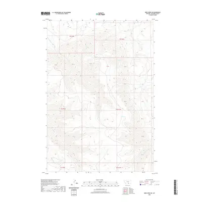
2020 Map of Deep Creek SW
USGS Topo · Published 2020About this map
Smallpox Cr and Deep Cr define the northern drainages of this Big Horn County landscape, where the terrain is marked by a complex network of seasonal and perennial waterways. The map highlights the high-elevation water sources critical to this region, such as Lost Creek Spring and the isolated Crater Lake. Human intervention in the natural hydrology is evidenced by the Lost Cr Ditch, reflecting the local reliance on water management for ranching or land use across the various township divisions. The southern portion of the quadrangle is dominated by the forks of Pryor Cr and E Pryor Cr, surrounded by several large land parcels labeled as private blocks, such as PB 45 and PB 38, which indicate the specific land ownership patterns of the Montana foothills.
Find a feature on this map
26 named features on this map. Tap any name to fly to it.
Don’t see what you’re looking for? This feature index may not catch every label — zoom into the map to look around manually.
Map Details
Editions of this 2020 Deep Creek SW Map
This is the sole edition of this map. No revisions or reprints were ever made.
Other maps of this area

1954 · Billings
USGS Topo · 1:250,000

1957 · Billings
USGS Topo · 1:250,000

1958 · Billings
USGS Topo · 1:250,000

1964 · Big Ice Cave
USGS Topo · 1:24,000

1964 · East Pryor Mountain
USGS Topo · 1:24,000

1967 · Deep Creek SE
USGS Topo · 1:24,000

1967 · Castle Rocks
USGS Topo · 1:24,000

1967 · Deep Creek
USGS Topo · 1:24,000

1967 · Pryor
USGS Topo · 1:24,000

1967 · Deep Creek SW
USGS Topo · 1:24,000