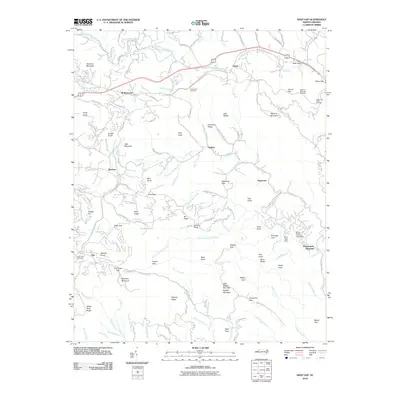
2010 Map of Deep Gap
USGS Topo · Published 2010About this map
Rutherwood and the high-elevation settlements of the Blue Ridge mountains are detailed in this 2010 study of Watauga County. The Blue Ridge Pkwy snakes across the terrain, passing through Cook Gap and Deep Gap while providing access to the Grandview Overlook. The map captures a landscape defined by sharp ridges and deep coves, where small communities like Triplett and Bamboo are situated along the winding headwaters of Elk Creek and South Fork New River.
Find a feature on this map
132 named features on this map. Tap any name to fly to it.
Don’t see what you’re looking for? This feature index may not catch every label — zoom into the map to look around manually.
Map Details
Editions of this 2010 Deep Gap Map
This is the sole edition of this map. No revisions or reprints were ever made.
Other maps of this area

1889 · Wilkesboro
USGS Topo · 1:125,000

1891 · Wilkesboro
USGS Topo · 1:125,000

1893 · Cranberry
USGS Topo · 1:125,000

1895 · Cranberry
USGS Topo · 1:125,000

1899 · Cranberry
USGS Topo · 1:125,000

1902 · Cranberry
USGS Topo · 1:125,000

1934 · Boone
USGS Topo · 1:24,000

1935 · Zionville
USGS Topo · 1:24,000

1936 · Blowing Rock
USGS Topo · 1:48,000
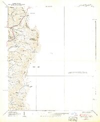
1939 · Zionville
USGS Topo · 1:24,000