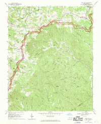
1967 Map of Deep Gap
USGS Topo · Published 1969About this map
The Blue Ridge Parkway carves a winding path across the Blue Ridge escarpment in this late 1960s survey of the Watauga County highlands. Near the settlement of Deep Gap, the road provides access to the Grandview Overlook and Osborne Mtn Overlook, marking the transition from the high ridges down into the Stony Fork valley. This area reflects a landscape where mountain agriculture and rural life centered around local landmarks like the Parkway Sch and the Holy Trinity Chapel.
Find a feature on this map
100 named features on this map. Tap any name to fly to it.
Don’t see what you’re looking for? This feature index may not catch every label — zoom into the map to look around manually.
Map Details
Editions of this 1967 Deep Gap Map
2 editions found
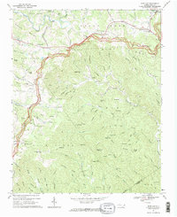
Other maps of this area

1889 · Wilkesboro
USGS Topo · 1:125,000

1891 · Wilkesboro
USGS Topo · 1:125,000

1893 · Cranberry
USGS Topo · 1:125,000

1895 · Cranberry
USGS Topo · 1:125,000

1899 · Cranberry
USGS Topo · 1:125,000

1902 · Cranberry
USGS Topo · 1:125,000

1934 · Boone
USGS Topo · 1:24,000

1935 · Zionville
USGS Topo · 1:24,000

1936 · Blowing Rock
USGS Topo · 1:48,000
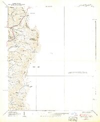
1939 · Zionville
USGS Topo · 1:24,000