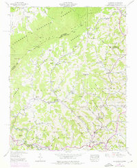
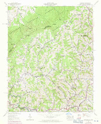
1938 Map of Sherwood
USGS Topo · Published 1976About this map
Stone Mountain and The Bald dominate the high ridges of Watauga County, where the Pisgah National Forest meets the Cherokee National Forest at the Tennessee state line. This 1938 survey, updated with 1969 aerial data, reveals a landscape of isolated mountain hollows and tight-knit valley settlements. Community life centers on the drainage of Beaverdam Creek and Cove Creek, where institutions like Beaverdam Sch and Henson Chapel Ch serve local families. The terrain is defined by dramatic elevation changes, from the depths of Wilson Hollow to the heights of Buckeye Knob. Transportation through these gaps is captured through features like Greer Bridge and the winding paths through Locust Gap and Vaught Gap, illustrating the geographic constraints that shaped late-20th-century development in this corner of the Blue Ridge.
Find a feature on this map
95 named features on this map. Tap any name to fly to it.
Don’t see what you’re looking for? This feature index may not catch every label — zoom into the map to look around manually.
Map Details
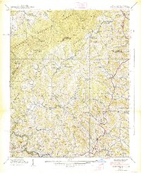
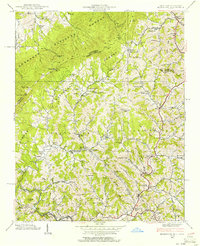
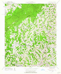
Editions of this 1938 Sherwood Map
5 editions found
Other maps of this area

1893 · Cranberry
USGS Topo · 1:125,000

1895 · Cranberry
USGS Topo · 1:125,000

1899 · Cranberry
USGS Topo · 1:125,000

1902 · Cranberry
USGS Topo · 1:125,000

1934 · Valle Crucis
USGS Topo · 1:24,000

1934 · Elk Park
USGS Topo · 1:24,000

1934 · Boone
USGS Topo · 1:24,000
1935 · Doe
USGS Topo · 1:24,000

1935 · Baldwin Gap
USGS Topo · 1:24,000

1935 · Doe Mountain
USGS Topo · 1:48,000