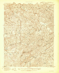
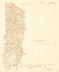
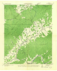
1938 Map of Sherwood
USGS Topo · Published 1964About this map
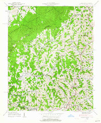
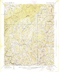
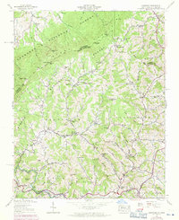
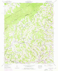
Sherwood and the surrounding Watauga County highlands are defined by a network of steep ridges and creek-fed valleys along the North Carolina and Tennessee border. In the late 1930s, this area maintained a high density of rural institutions, with small settlements like Amantha and Bethel serving as local hubs. The landscape is dotted with community anchors such as Henson Chapel Cem, Beaverdam Ch, and Cove Creek Ch, reflecting a deeply rooted mountain culture. Education was localized in numerous schoolhouses like Beaverdam Sch and Pine Grove Sch, scattered to serve families in isolated hollows. Much of the northwestern portion of this sheet is encompassed by the Cherokee National Forest, dominated by the heights of Stone Mountain and Snake Mountain. From the cascades at Watauga Falls to the high gap at The Bald, this survey captures the intersection of traditional Appalachian settlement patterns and federally managed timberlands.
Find a feature on this map
110 named features on this map. Tap any name to fly to it.
Don’t see what you’re looking for? This feature index may not catch every label — zoom into the map to look around manually.
Map Details
Editions of this 1938 Sherwood Map
5 editions found

Other maps of this area

1893 · Cranberry
USGS Topo · 1:125,000

1895 · Cranberry
USGS Topo · 1:125,000

1899 · Cranberry
USGS Topo · 1:125,000

1902 · Cranberry
USGS Topo · 1:125,000
1934 · Valle Crucis
USGS Topo · 1:24,000

1934 · Elk Park
USGS Topo · 1:24,000
1934 · Boone
USGS Topo · 1:24,000
1935 · Doe
USGS Topo · 1:24,000

1935 · Baldwin Gap
USGS Topo · 1:24,000

1935 · Doe Mountain
USGS Topo · 1:48,000