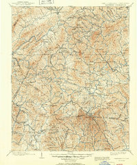
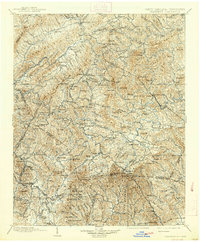
1902 Map of Cranberry
USGS Topo · Published 1950About this map
Mountain City and the surrounding high country of the Blue Ridge define this 1902 survey, which documents the rugged borderlands of North Carolina and Tennessee. The map captures a moment when early industrial and transit hubs like Rhea Forge and Key Sta. anchored local commerce, alongside established mountain communities such as Banner Elk and Valle Crucis. The drainage of the Watauga River and the South Fork New River dictates the settlement patterns, with roads and small villages following the narrow valley floors.
Find a feature on this map
208 named features on this map. Tap any name to fly to it.
Don’t see what you’re looking for? This feature index may not catch every label — zoom into the map to look around manually.
Map Details
Editions of this 1902 Cranberry Map
6 editions found

Other maps of this area

1889 · Wytheville
USGS Topo · 1:125,000

1889 · Wilkesboro
USGS Topo · 1:125,000

1891 · Roan Mountain
USGS Topo · 1:125,000

1891 · Abingdon
USGS Topo · 1:125,000

1891 · Wilkesboro
USGS Topo · 1:125,000

1892 · Wytheville
USGS Topo · 1:125,000

1893 · Cranberry
USGS Topo · 1:125,000

1894 · Roan Mountain
USGS Topo · 1:125,000

1894 · Abingdon
USGS Topo · 1:125,000

1895 · Hickory
USGS Topo · 1:125,000