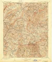
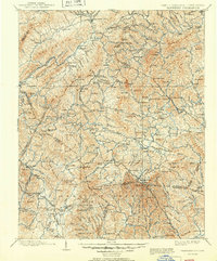
1902 Map of Cranberry
USGS Topo · Published 1924About this map
Mountain City and the surrounding Blue Ridge highlands are captured here during a pivotal era of industrial expansion and mountain tourism. The map documents the early railroad infrastructure of the region, specifically the Virginia and Southwestern Ry. and the East Tennessee and Western North Carolina R. R., which were vital for the timber and mineral extraction of the late 19th century. Settlement patterns follow the river valleys, with small hubs like Shoun Crossroads and Zionville serving as nodes in a network of mountain passes such as State Line Gap.
Find a feature on this map
181 named features on this map. Tap any name to fly to it.
Don’t see what you’re looking for? This feature index may not catch every label — zoom into the map to look around manually.
Map Details
Editions of this 1902 Cranberry Map
6 editions found

Other maps of this area

1889 · Wytheville
USGS Topo · 1:125,000

1889 · Wilkesboro
USGS Topo · 1:125,000

1891 · Roan Mountain
USGS Topo · 1:125,000

1891 · Abingdon
USGS Topo · 1:125,000

1891 · Wilkesboro
USGS Topo · 1:125,000

1892 · Wytheville
USGS Topo · 1:125,000

1893 · Cranberry
USGS Topo · 1:125,000

1894 · Roan Mountain
USGS Topo · 1:125,000

1894 · Abingdon
USGS Topo · 1:125,000

1895 · Hickory
USGS Topo · 1:125,000