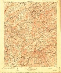
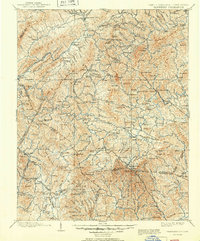
1902 Map of Cranberry
USGS Topo · Published 1914About this map
Mountain City and the surrounding high country of the Blue Ridge define this 1890s-era survey, which captures a landscape of early industry and high-altitude settlements. The presence of Rhea Forge and the Linville River Ry line reflects the region's reliance on mineral extraction and timber, while the Cranberry Inn and the burgeoning community at Banners Elk suggest the area's emerging identity as a summer destination.
Find a feature on this map
191 named features on this map. Tap any name to fly to it.
Don’t see what you’re looking for? This feature index may not catch every label — zoom into the map to look around manually.
Map Details
Editions of this 1902 Cranberry Map
6 editions found

Other maps of this area

1889 · Wytheville
USGS Topo · 1:125,000

1889 · Wilkesboro
USGS Topo · 1:125,000

1891 · Roan Mountain
USGS Topo · 1:125,000

1891 · Abingdon
USGS Topo · 1:125,000

1891 · Wilkesboro
USGS Topo · 1:125,000

1892 · Wytheville
USGS Topo · 1:125,000

1893 · Cranberry
USGS Topo · 1:125,000

1894 · Roan Mountain
USGS Topo · 1:125,000

1894 · Abingdon
USGS Topo · 1:125,000

1895 · Hickory
USGS Topo · 1:125,000