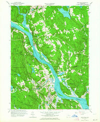
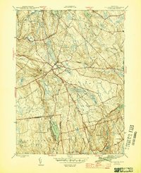
1961 Map of Deep River
USGS Topo · Published 1964About this map
Gillette Castle State Park dominates the high ground overlooking the Connecticut River, a central artery for the region's mid-century landscape. This survey, revised in the early 1960s, documents the established river towns of Deep River, Chester, and East Haddam during a period of steady growth. The New York New Haven and Hartford railroad line traces the western bank, linking riverfront settlements like Shailerville and Tylerville to the broader regional economy.
Find a feature on this map
115 named features on this map. Tap any name to fly to it.
Don’t see what you’re looking for? This feature index may not catch every label — zoom into the map to look around manually.
Map Details
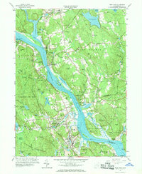
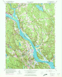
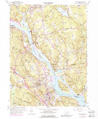
Editions of this 1961 Deep River Map
4 editions found
Other maps of this area

1892 · Gilead
USGS Topo · 1:62,500

1893 · Guilford
USGS Topo · 1:62,500

1893 · Middletown
USGS Topo · 1:62,500

1893 · Saybrook
USGS Topo · 1:62,500

1906 · Farmington
USGS Topo · 1:125,000

1941 · Lyme
USGS Topo · 1:31,680

1944 · Essex
USGS Topo · 1:31,680

1944 · Deep River
USGS Topo · 1:31,680

1945 · Middle Haddam
USGS Topo · 1:31,680
1945 · Colchester
USGS Topo · 1:31,680