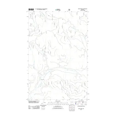
2011 Map of Deer Creek
USGS Topo · Published 2011About this map
Pleasant Valley defines the southern portion of this landscape, where the Pleasant Valley Fisher River meanders through the drainages of Flathead County. The terrain is defined by a dense network of forest service access, including the Nat For Dev Rd 2325 and NFD 2345 Rd, reflecting the managed nature of these timberlands. Water systems are central to the geography here, with Tamarack Creek and Tensaw Creek cutting through the northern reaches. This 2011 survey by the U.S. Geological Survey and U.S. Forest Service provides an exact record of the watershed and road infrastructure, tracing the paths of Deer Creek and Marl Creek as they feed into the larger river system. The map is a precise document of the contemporary Pacific Northwest backcountry, illustrating how modern forest management routes overlay the natural topography of the Fisher River basin.
Find a feature on this map
12 named features on this map. Tap any name to fly to it.
Don’t see what you’re looking for? This feature index may not catch every label — zoom into the map to look around manually.
Map Details
Editions of this 2011 Deer Creek Map
This is the sole edition of this map. No revisions or reprints were ever made.
Other maps of this area

1920 · Jennings
USGS Topo · 1:125,000

1935 · Thompson Lakes
USGS Topo · 1:96,000

1942 · Thompson Lakes
USGS Topo · 1:125,000

1957 · Kalispell
USGS Topo · 1:250,000

1960 · Kalispell
USGS Topo · 1:250,000

1961 · Kalispell
USGS Topo · 1:250,000

1963 · Wolf Prairie
USGS Topo · 1:24,000
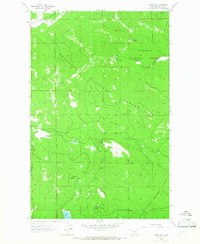
1963 · Horse Hill
USGS Topo · 1:24,000
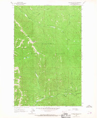
1963 · Richards Mountain
USGS Topo · 1:24,000

1964 · Meadow Peak
USGS Topo · 1:24,000