
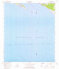
1954 Map of Deer Island
USGS Topo · Published 1958About this map
Deer Island and the surrounding coastal waters define this 1950s hydrographic study of the Mississippi coast. The map illustrates the maritime interface where Biloxi Bay meets the broader Mississippi Sound, with a focus on navigation and shoreline detail. The eastern edge reveals a network of coastal inlets including Grand Bayou, Ramsay Bayou, and Simmons Bayou, showing the complex drainage of the marshy lowlands before major modern development.
Find a feature on this map
10 named features on this map. Tap any name to fly to it.
Don’t see what you’re looking for? This feature index may not catch every label — zoom into the map to look around manually.
Map Details
Editions of this 1954 Deer Island Map
3 editions found
Other maps of this area

1941 · Horn Island
USGS Topo · 1:62,500

1942 · Horn Island
USGS Topo · 1:62,500

1943 · Pascagoula
USGS Topo · 1:62,500

1950 · Dog Keys Pass
USGS Topo · 1:24,000

1950 · Ship Island
USGS Topo · 1:24,000

1953 · Mobile
USGS Topo · 1:250,000

1954 · Ocean Springs
USGS Topo · 1:24,000

1954 · Biloxi
USGS Topo · 1:24,000

1954 · Biloxi
USGS Topo · 1:62,500

1955 · Pascagoula
USGS Topo · 1:62,500