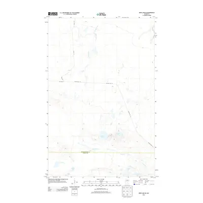
2013 Map of Deer Lake NE
USGS Topo · Published 2013About this map
The Valley River winds across the southern reaches of this landscape, marking the transition from northern wetlands into the lake-strewn forests of the Minnesota Northwoods. This 2013 survey defines the boundary between Koochiching and Itasca counties, a remote area characterized by dense water networks. In the central-eastern portion of the map, Franklin Lake and Pocquette Lake sit among low-lying terrain, while the northeastern corner is defined by the headwaters of Gardner Brook. Access to this interior is largely provided by a network of logging and forest roads, including Kendall Rd and Holstrum Rd. These routes, along with the Holstrum Spur Trl, follow the natural contours of the land, providing a record of 21st-century timber and recreational access in a region where water bodies like Lost Lake and Harrigan Lake remain central to the geography.
Find a feature on this map
12 named features on this map. Tap any name to fly to it.
Don’t see what you’re looking for? This feature index may not catch every label — zoom into the map to look around manually.
Map Details
Editions of this 2013 Deer Lake NE Map
This is the sole edition of this map. No revisions or reprints were ever made.
Other maps of this area

1954 · Hibbing
USGS Topo · 1:250,000

1954 · International Falls
USGS Topo · 1:250,000

1957 · Hibbing
USGS Topo · 1:250,000

1957 · International Falls
USGS Topo · 1:250,000

1958 · International Falls
USGS Topo · 1:250,000

1958 · Hibbing
USGS Topo · 1:250,000

1964 · Hibbing
USGS Topo · 1:250,000

1970 · Rauch
USGS Topo · 1:24,000

1970 · Nett Lake River SE
USGS Topo · 1:24,000

1970 · Deer Lake East
USGS Topo · 1:24,000