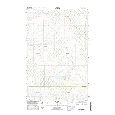
2016 Map of Deer Lake NE
USGS Topo · Published 2016About this map
Valley River snakes through this northern Minnesota landscape, crossing the shared border of Koochiching and Itasca Counties. This interior wilderness is defined by its extensive wetlands and numerous small, secluded water bodies such as Pocquette Lake, Franklin Lake, and Candy Lake. The drainage pattern is driven by the Gardner Brook system and the wandering Valley River, which carves through the southern sections of the quadrangle.
Find a feature on this map
19 named features on this map. Tap any name to fly to it.
Don’t see what you’re looking for? This feature index may not catch every label — zoom into the map to look around manually.
Map Details
Editions of this 2016 Deer Lake NE Map
This is the sole edition of this map. No revisions or reprints were ever made.
Other maps of this area

1954 · Hibbing
USGS Topo · 1:250,000

1954 · International Falls
USGS Topo · 1:250,000

1957 · Hibbing
USGS Topo · 1:250,000

1957 · International Falls
USGS Topo · 1:250,000

1958 · International Falls
USGS Topo · 1:250,000

1958 · Hibbing
USGS Topo · 1:250,000

1964 · Hibbing
USGS Topo · 1:250,000

1970 · Rauch
USGS Topo · 1:24,000

1970 · Nett Lake River SE
USGS Topo · 1:24,000

1970 · Deer Lake East
USGS Topo · 1:24,000