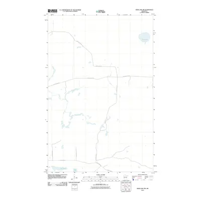
2010 Map of Deer Lake NW
USGS Topo · Published 2010About this map
Myrtle Lake and a network of logging roads and truck trails characterize this northern Minnesota landscape in Itasca County. The terrain is defined by its water systems, including the wandering course of Reilly Brook and smaller bodies like Shine Lake and Thimble Lake. The infrastructure here is primarily dedicated to forest access and rural transit, featuring routes such as North Lofgrin Rd and the Lofgrin Truck Trl. This survey captures the area as a managed timber and recreation environment, where designated paths like Holstrum Spur Trl branch off into the woods from more established thoroughfares like County Hwy-525. The naming of many routes, such as S Lofgren Forest Rd, suggests a long history of local land management and family-named landmarks in this lake-dotted region.
Find a feature on this map
11 named features on this map. Tap any name to fly to it.
Don’t see what you’re looking for? This feature index may not catch every label — zoom into the map to look around manually.
Map Details
Editions of this 2010 Deer Lake NW Map
This is the sole edition of this map. No revisions or reprints were ever made.
Other maps of this area

1919 · M
USGS Topo · 1:62,500

1954 · Hibbing
USGS Topo · 1:250,000

1954 · International Falls
USGS Topo · 1:250,000

1957 · Hibbing
USGS Topo · 1:250,000

1957 · International Falls
USGS Topo · 1:250,000

1958 · International Falls
USGS Topo · 1:250,000

1958 · Hibbing
USGS Topo · 1:250,000

1964 · Hibbing
USGS Topo · 1:250,000

1970 · Johnson Landing SE
USGS Topo · 1:24,000

1970 · Nett Lake River SE
USGS Topo · 1:24,000