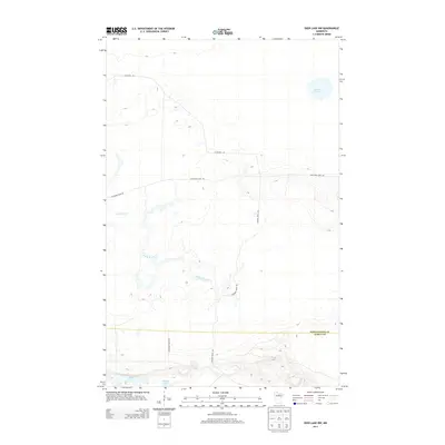
2013 Map of Deer Lake NW
USGS Topo · Published 2013About this map
The remote forest and bog terrain of the Minnesota Northwoods define this 2013 survey of the borderlands between Itasca and Koochiching counties. This landscape is characterized by its glacial hydrology, featuring several isolated water bodies such as Myrtle Lake, Shine Lake, and Thimble Lake. A network of unpaved forest and maintenance routes, including the N Lofgrin Rd and the S Lofgrin Forest Rd, provide the only infrastructure through this heavily timbered area. The drainage pattern is led by the winding course of Reilly Brook, which moves through the center of the sheet. The prevalence of features like the Holstrum Spur Trl and Lofgrin Truck Trl reflects the region's managed wilderness and logging heritage, where specialized trails and spurs are essential for navigating the complex wetland and forest mosaic.
Find a feature on this map
9 named features on this map. Tap any name to fly to it.
Don’t see what you’re looking for? This feature index may not catch every label — zoom into the map to look around manually.
Map Details
Editions of this 2013 Deer Lake NW Map
This is the sole edition of this map. No revisions or reprints were ever made.
Other maps of this area

1919 · M
USGS Topo · 1:62,500

1954 · Hibbing
USGS Topo · 1:250,000

1954 · International Falls
USGS Topo · 1:250,000

1957 · Hibbing
USGS Topo · 1:250,000

1957 · International Falls
USGS Topo · 1:250,000

1958 · International Falls
USGS Topo · 1:250,000

1958 · Hibbing
USGS Topo · 1:250,000

1964 · Hibbing
USGS Topo · 1:250,000

1970 · Johnson Landing SE
USGS Topo · 1:24,000

1970 · Nett Lake River SE
USGS Topo · 1:24,000