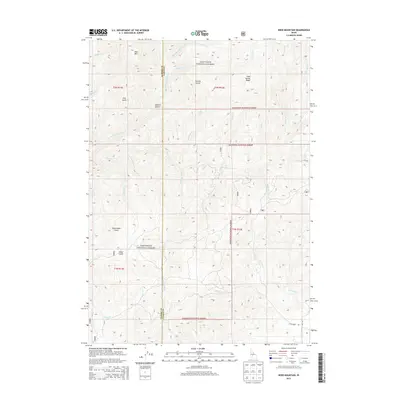
2013 Map of Deer Mountain
USGS Topo · Published 2013About this map
The Sawtooth National Forest dominates this interior Idaho landscape at the intersection of the Elmore and Camas County line. The terrain is defined by a dense network of watercourses feeding into the larger drainage systems of the Middle Fork Lime Cr and S Fork Lime Cr. Landforms like Deer Mtn and the prominent Cold Spring Ridge rise above deeply etched gulches, including Beaverdam and Hawk Gulch. Human infrastructure is sparse, primarily limited to the southern portion of the quadrangle where Lime Creek Rd and Forest Service route 484 provide access through the mountains. This 2013 survey illustrates the remote character of the region, where the naming conventions—such as Ellis Gulch, Polson Cr, and McCarter Cr—suggest the legacy of early ranching or mining families who worked these high-elevation drainages.
Find a feature on this map
34 named features on this map. Tap any name to fly to it.
Don’t see what you’re looking for? This feature index may not catch every label — zoom into the map to look around manually.
Map Details
Editions of this 2013 Deer Mountain Map
This is the sole edition of this map. No revisions or reprints were ever made.
Other maps of this area

1892 · Camas Prairie
USGS Topo · 1:125,000

1893 · Camas Prairie
USGS Topo · 1:125,000

1894 · Rocky Bar
USGS Topo · 1:125,000

1900 · Sawtooth
USGS Topo · 1:125,000

1955 · Hailey
USGS Topo · 1:250,000

1957 · Fairfield
USGS Topo · 1:62,500

1959 · Hailey
USGS Topo · 1:250,000

1962 · Hailey
USGS Topo · 1:250,000

1963 · High Prairie
USGS Topo · 1:24,000

1963 · Deer Mountain
USGS Topo · 1:24,000