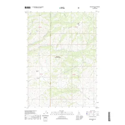
2020 Map of Deer Mountain
USGS Topo · Published 2020About this map
Sawtooth National Forest dominates this landscape along the border of Elmore and Camas counties. The terrain is defined by a dense network of drainages including Middle Fork Lime Creek and the S Fork Lime Creek, which feed into larger water systems south of Deer Mtn. This 2020 survey illustrates a region primarily accessible through a system of trails and primitive forest roads, suggesting a landscape managed for wilderness and timber rather than permanent settlement.
Find a feature on this map
40 named features on this map. Tap any name to fly to it.
Don’t see what you’re looking for? This feature index may not catch every label — zoom into the map to look around manually.
Map Details
Editions of this 2020 Deer Mountain Map
This is the sole edition of this map. No revisions or reprints were ever made.
Other maps of this area

1892 · Camas Prairie
USGS Topo · 1:125,000

1893 · Camas Prairie
USGS Topo · 1:125,000

1894 · Rocky Bar
USGS Topo · 1:125,000

1900 · Sawtooth
USGS Topo · 1:125,000

1955 · Hailey
USGS Topo · 1:250,000

1957 · Fairfield
USGS Topo · 1:62,500

1959 · Hailey
USGS Topo · 1:250,000

1962 · Hailey
USGS Topo · 1:250,000

1963 · High Prairie
USGS Topo · 1:24,000

1963 · Deer Mountain
USGS Topo · 1:24,000