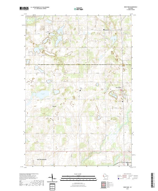
2022 Map of Deer Park
USGS Topo · Published 2022About this map
Deer Park and the surrounding farmland of St. Croix and Polk counties are defined by a network of rural roads and scattered parish cemeteries. This modern survey shows a landscape where historic local hubs like Stanton remain connected by the grid of county highways, such as Co Hwy T and Cty Rd A. The topography is shaped by glacial depressions, evidenced by the clustered waters of North Fish Lake, South Fish Lake, and Oak Ridge Lake in the northwest. Several small burial grounds, including Wagon Landing Cem and Saint Bridget's Cem, are preserved near these water bodies.
Find a feature on this map
61 named features on this map. Tap any name to fly to it.
Don’t see what you’re looking for? This feature index may not catch every label — zoom into the map to look around manually.
Map Details
Editions of this 2022 Deer Park Map
This is the sole edition of this map. No revisions or reprints were ever made.
Other maps of this area

1900 · St Croix Dalles
USGS Topo · 1:62,500

1901 · St Croix Dalles
USGS Topo · 1:62,500

1948 · New Richmond
USGS Topo · 1:62,500

1949 · New Richmond
USGS Topo · 1:62,500

1950 · Deer Park
USGS Topo · 1:62,500

1950 · Balsam Lake
USGS Topo · 1:62,500

1953 · Stillwater
USGS Topo · 1:250,000

1955 · St. Croix Dalles
USGS Topo · 1:62,500

1955 · Stillwater
USGS Topo · 1:250,000

1958 · Stillwater
USGS Topo · 1:250,000