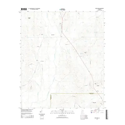
2014 Map of Deer Park
USGS Topo · Published 2014About this map
The Escatawpa River defines the drainage of this area along the border of Washington and Mobile counties, flowing through a landscape marked by small settlements and historic rural cemeteries. In the northern reaches, the community of Deer Park is a central point, supported by Deer Park Cem and Weldy Cem. To the northwest lies Vinegar Bend, while the southern portion of the map transitions into the outskirts of Citronelle. These communities are connected by a network of backroads including Deep Park Cemetery Rd and Earlwood Rd, which navigate the creek-carved terrain of Pond Cr and Gum Springs Br. Notable private landmarks such as Wade H Odom Pond and Doctor Vincent Best Pond sit near the high ground of Big Sand Hill, illustrating the distribution of local residences and resources in this pine-belt region of Alabama.
Find a feature on this map
50 named features on this map. Tap any name to fly to it.
Don’t see what you’re looking for? This feature index may not catch every label — zoom into the map to look around manually.
Map Details
Editions of this 2014 Deer Park Map
This is the sole edition of this map. No revisions or reprints were ever made.
Other maps of this area

1942 · Deer Park
USGS Topo · 1:62,500

1943 · Deer Park
USGS Topo · 1:62,500

1943 · Citronelle
USGS Topo · 1:62,500

1943 · McIntosh
USGS Topo · 1:62,500

1944 · McIntosh
USGS Topo · 1:62,500

1946 · Citronelle
USGS Topo · 1:62,500

1953 · Hattiesburg
USGS Topo · 1:250,000

1958 · Hattiesburg
USGS Topo · 1:250,000

1974 · Fruitdale
USGS Topo · 1:24,000

1974 · Vinegar Bend
USGS Topo · 1:24,000