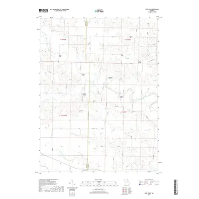
2017 Map of Deer Ridge
USGS Topo · Published 2017About this map
The Middle Fabius River snakes across this corner of Lewis County, Missouri, shaping a landscape defined by its riparian corridors and agricultural plateaus. The winding watercourse creates prominent features like Horseshoe Bend, while its tributaries, including Bridge Cr and Hilbert Br, drain the surrounding farmland. This area is characterized by a network of rural roads such as State HWY K and State HWY E that connect the small settlements of Deer Ridge and Forest Springs.
Find a feature on this map
74 named features on this map. Tap any name to fly to it.
Don’t see what you’re looking for? This feature index may not catch every label — zoom into the map to look around manually.
Map Details
Editions of this 2017 Deer Ridge Map
This is the sole edition of this map. No revisions or reprints were ever made.
Other maps of this area

1903 · Kahoka
USGS Topo · 1:125,000

1903 · Edina
USGS Topo · 1:125,000

1950 · Neeper
USGS Topo · 1:24,000

1950 · Williamstown
USGS Topo · 1:24,000

1950 · Lewistown
USGS Topo · 1:24,000

1950 · Colony
USGS Topo · 1:24,000

1950 · La Belle
USGS Topo · 1:24,000

1951 · La Belle
USGS Topo · 1:24,000

1951 · Colony
USGS Topo · 1:24,000

1951 · Neeper
USGS Topo · 1:24,000