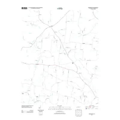
2013 Map of Deerfield
USGS Topo · Published 2013About this map
The Little Buffalo River and its numerous tributaries, including Crowson Cr and Sowell Br, define the rural landscape of Lawrence County. The settlement of Deerfield sits as a central point of activity along the east-west corridor, while smaller communities like Center, Red Hill, and Hudson are scattered through the countryside. These hamlets are connected by a network of local roads such as Knott Rd and Center Grove Rd, reflecting a long-standing agricultural and residential pattern.
Find a feature on this map
117 named features on this map. Tap any name to fly to it.
Don’t see what you’re looking for? This feature index may not catch every label — zoom into the map to look around manually.
Map Details
Editions of this 2013 Deerfield Map
This is the sole edition of this map. No revisions or reprints were ever made.
Other maps of this area

1905 · Waynesboro
USGS Topo · 1:125,000

1936 · Riverside
USGS Topo · 1:24,000

1936 · Westpoint
USGS Topo · 1:24,000

1936 · Deerfield
USGS Topo · 1:24,000

1936 · Henryville
USGS Topo · 1:24,000

1936 · Lawrenceburg
USGS Topo · 1:24,000

1936 · Ethridge
USGS Topo · 1:24,000

1936 · Long Branch
USGS Topo · 1:24,000

1936 · Crestview
USGS Topo · 1:24,000

1936 · Ovilla
USGS Topo · 1:24,000