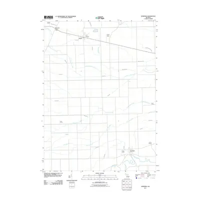
2011 Map of Deerfield
USGS Topo · Published 2011About this map
The River Raisin meanders through the southern portion of this landscape, anchoring the settlement of Deerfield. This area of Monroe County is defined by a dense network of agricultural drainage, with dozens of named channels such as Swamp Raisin Creek, South Branch Macon Creek, and Wahoo Prairie Drain etched across the township. These waterways reflect a long history of land reclamation essential for the region's farming economy.
Find a feature on this map
30 named features on this map. Tap any name to fly to it.
Don’t see what you’re looking for? This feature index may not catch every label — zoom into the map to look around manually.
Map Details
Editions of this 2011 Deerfield Map
This is the sole edition of this map. No revisions or reprints were ever made.
Other maps of this area

1902 · Ypsilanti
USGS Topo · 1:62,500

1904 · Ann Arbor
USGS Topo · 1:125,000

1906 · Ypsilanti
USGS Topo · 1:62,500

1906 · Saline
USGS Topo · 1:62,500

1908 · Ann Arbor
USGS Topo · 1:125,000

1912 · Dundee
USGS Topo · 1:62,500

1926 · Dundee
USGS Topo · 1:62,500

1939 · Blissfield
USGS Topo · 1:62,500
1939 · Dundee
USGS Topo · 1:62,500
1940 · Dundee
USGS Topo · 1:62,500