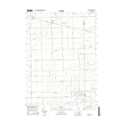
2014 Map of Deerfield
USGS Topo · Published 2014About this map
Deerfield stands as a focal point in this landscape of the Lenawee and Monroe County border, where the winding River Raisin and Little River Raisin converge. The agricultural character of the region is defined by a dense network of drainage systems, including Swamp Raisin Cr, Wahoo Prairie Drain, and Kelly Drain, illustrating the engineering required to manage the low-lying plains. To the north, the settlements of Britton and Ridgeway are connected by arterial roads like W Chicago Blvd and E Monroe Rd.
Find a feature on this map
99 named features on this map. Tap any name to fly to it.
Don’t see what you’re looking for? This feature index may not catch every label — zoom into the map to look around manually.
Map Details
Editions of this 2014 Deerfield Map
This is the sole edition of this map. No revisions or reprints were ever made.
Other maps of this area

1902 · Ypsilanti
USGS Topo · 1:62,500

1904 · Ann Arbor
USGS Topo · 1:125,000

1906 · Ypsilanti
USGS Topo · 1:62,500

1906 · Saline
USGS Topo · 1:62,500

1908 · Ann Arbor
USGS Topo · 1:125,000

1912 · Dundee
USGS Topo · 1:62,500

1926 · Dundee
USGS Topo · 1:62,500

1939 · Blissfield
USGS Topo · 1:62,500
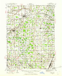
1939 · Dundee
USGS Topo · 1:62,500
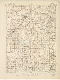
1940 · Dundee
USGS Topo · 1:62,500