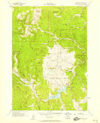
1956 Map of Deerfield
USGS Topo · Published 1958About this map
Deerfield Lake dominates the southern portion of this landscape, its waters contained at the junction of South Fork Castle Creek and Castle Creek. The surrounding Black Hills National Forest is dotted with high-elevation landmarks such as White Tail Peak and Flag Mountain, which features a Lookout Tower. This mid-century survey reveals a rural society of ranches and mountain camps, where family names like Lessering Ranch, Kinney Ranch, and Oberg Ranch define the geography.
Find a feature on this map
56 named features on this map. Tap any name to fly to it.
Don’t see what you’re looking for? This feature index may not catch every label — zoom into the map to look around manually.
Map Details
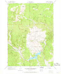
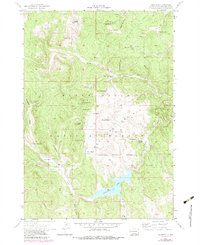
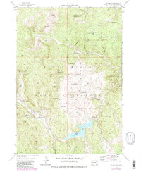
Editions of this 1956 Deerfield Map
4 editions found
Other maps of this area

1894 · Deadwood
USGS Topo · 1:125,000

1896 · Harney Peak
USGS Topo · 1:125,000

1901 · Harney Peak
USGS Topo · 1:125,000

1901 · Deadwood
USGS Topo · 1:125,000

1916 · Deadwood
USGS Topo · 1:125,000

1953 · Rapid City
USGS Topo · 1:250,000

1955 · Hot Springs
USGS Topo · 1:250,000
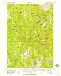
1956 · Custer
USGS Topo · 1:62,500
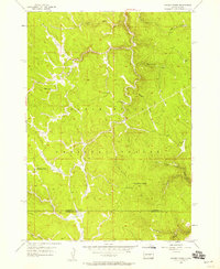
1956 · Crooks Tower
USGS Topo · 1:24,000
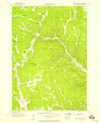
1956 · Crows Nest Peak
USGS Topo · 1:24,000