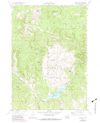
1956 Map of Deerfield
USGS Topo · Published 1979About this map
The Black Hills National Forest landscape shown here reflects the complex land use of the mid-20th century, where traditional ranching and timber management met a growing recreational economy. At the center of this activity is the settlement of Deerfield, situated near the shoreline of Deerfield Lake. The presence of the Castle Rock Sch and numerous family holdings like the Hupp Ranch, Erickson Ranch, and Prickett Ranch points to a dispersed but established rural community.
Find a feature on this map
59 named features on this map. Tap any name to fly to it.
Don’t see what you’re looking for? This feature index may not catch every label — zoom into the map to look around manually.
Map Details
Editions of this 1956 Deerfield Map
4 editions found
Other maps of this area

1894 · Deadwood
USGS Topo · 1:125,000

1896 · Harney Peak
USGS Topo · 1:125,000

1901 · Harney Peak
USGS Topo · 1:125,000

1901 · Deadwood
USGS Topo · 1:125,000

1916 · Deadwood
USGS Topo · 1:125,000

1953 · Rapid City
USGS Topo · 1:250,000

1955 · Hot Springs
USGS Topo · 1:250,000
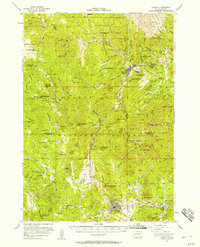
1956 · Custer
USGS Topo · 1:62,500
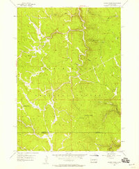
1956 · Crooks Tower
USGS Topo · 1:24,000
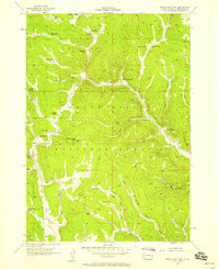
1956 · Crows Nest Peak
USGS Topo · 1:24,000