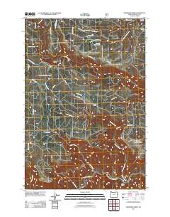
2011 Map of Deerhorn Creek
USGS Topo · Published 2011About this map
The North Fork John Day River winds through the southern edge of this Umatilla County landscape, joined by its tributary Deerhorn Creek near Bone Canyon. The terrain is defined by high ridges and flats, including the prominent Deerhorn Ridge and the broad expanse of Buckaroo Flat to the west. While much of the area is governed by a dense network of forest development roads such as Nat For Dev Rd 100, isolated outposts of activity remain visible at Gulliford Crossing and the Buckhorn Ranch. Several distinct water features dot the high country, from the descriptively named Stinking Water Pond to the drainages of South Fork Wilkins Creek and Buckaroo Creek, illustrating the complex hydrology of this part of the Blue Mountains region during the early twenty-first century.
Find a feature on this map
35 named features on this map. Tap any name to fly to it.
Don’t see what you’re looking for? This feature index may not catch every label — zoom into the map to look around manually.
Map Details
Editions of this 2011 Deerhorn Creek Map
This is the sole edition of this map. No revisions or reprints were ever made.
Other maps of this area

1950 · Ritter
USGS Topo · 1:62,500

1951 · Dale
USGS Topo · 1:62,500

1952 · Ritter
USGS Topo · 1:62,500

1953 · Pendleton
USGS Topo · 1:250,000

1955 · Canyon City
USGS Topo · 1:250,000

1956 · Pendleton
USGS Topo · 1:250,000

1959 · Canyon City
USGS Topo · 1:250,000

1967 · Bridge Creek
USGS Topo · 1:24,000

1967 · Ukiah
USGS Topo · 1:24,000

1969 · Sugarbowl Creek
USGS Topo · 1:24,000