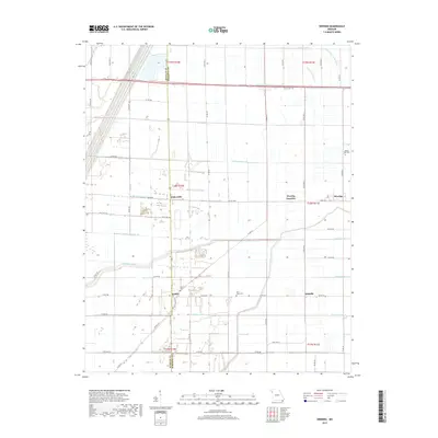
2017 Map of Deering
USGS Topo · Published 2017About this map
Tinkerville and Gobler anchor the western edge of this agricultural landscape in the Missouri Bootheel, situated along the county line between Dunklin and Pemiscot. This area is defined by an extensive reclamation network designed to drain the Mississippi River's alluvial floodplains for cultivation. A complex system of numbered canals, including Ditch Number 73 and Ditch Number 76, crisscrosses the terrain, redirecting the natural flow of the Little River and its Old Channel. Small settlements like Deering and Oakville are scattered among these drainage routes, connected by a rigid grid of rural roads and state highways. Local heritage is preserved at sites like the Rising Star Cem and Saint Johns Cem, providing essential points of reference for genealogists tracing families in this productive corner of Pemiscot County.
Find a feature on this map
61 named features on this map. Tap any name to fly to it.
Don’t see what you’re looking for? This feature index may not catch every label — zoom into the map to look around manually.
Map Details
Editions of this 2017 Deering Map
This is the sole edition of this map. No revisions or reprints were ever made.
Other maps of this area

1934 · Kennett
USGS Topo · 1:62,500

1940 · Pascola
USGS Topo · 1:62,500

1940 · Kennett
USGS Topo · 1:62,500

1940 · Hayti
USGS Topo · 1:62,500

1940 · Piggott
USGS Topo · 1:62,500

1955 · Pascola
USGS Topo · 1:62,500

1955 · Hayti
USGS Topo · 1:62,500

1956 · Kennett
USGS Topo · 1:62,500

1956 · Piggott
USGS Topo · 1:62,500

1956 · Dyersburg
USGS Topo · 1:250,000