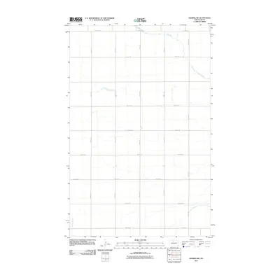
2011 Map of Deering SW
USGS Topo · Published 2011About this map
Egg Creek meanders through the northern and eastern portions of this Ward County landscape, while Livingston Creek enters from the southwest. This 2011 survey reveals the highly organized agricultural grid characteristic of the North Dakota plains, defined by a rigid network of section roads. Major corridors such as 128th Ave NE and 97th St NE delineate the expansive farming tracts. The landscape is sparse, focused on the drainage patterns of the creeks and the systematic division of land. Local history researchers can use this survey to trace the precise location of homesteads and property boundaries established along routes like 42nd St NE and 100th Ave NE as they appeared in the early 21st century.
Find a feature on this map
15 named features on this map. Tap any name to fly to it.
Don’t see what you’re looking for? This feature index may not catch every label — zoom into the map to look around manually.
Map Details
Editions of this 2011 Deering SW Map
This is the sole edition of this map. No revisions or reprints were ever made.
Other maps of this area

1928 · Minot
USGS Topo · 1:62,500

1929 · Sawyer
USGS Topo · 1:62,500

1948 · Burlington
USGS Topo · 1:62,500

1948 · Surrey
USGS Topo · 1:24,000

1949 · Sawyer NE
USGS Topo · 1:24,000

1949 · Deering NW
USGS Topo · 1:24,000

1949 · Deering SW
USGS Topo · 1:24,000

1949 · Deering SE
USGS Topo · 1:24,000

1949 · Burlington SE
USGS Topo · 1:24,000

1949 · Surrey
USGS Topo · 1:24,000