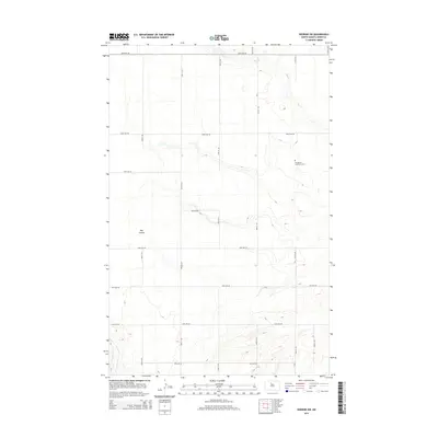
2014 Map of Deering SW
USGS Topo · Published 2014About this map
Immanuel Lutheran Cem stands as a quiet focal point in this portion of Ward County, situated among the grid of gravel and section roads that define the North Dakota prairie. The landscape is shaped by the subtle drainage of Egg Cr and Livingston Cr, which carve shallow paths through the northern and southern reaches of the quadrangle. Central to the area's geography is the distinctive terrain of Hay Coulee, a broad natural depression that cuts through the land south of 86th Ave NE. The road network, including thoroughfares such as 100th Ave NE and 128th Ave NE, illustrates the orderly agricultural partitioning of the region. This 2014 survey documents the enduring spatial organization of the rural plains, where small community landmarks like the cemetery remain vital markers of local heritage and family history.
Find a feature on this map
20 named features on this map. Tap any name to fly to it.
Don’t see what you’re looking for? This feature index may not catch every label — zoom into the map to look around manually.
Map Details
Editions of this 2014 Deering SW Map
This is the sole edition of this map. No revisions or reprints were ever made.
Other maps of this area

1928 · Minot
USGS Topo · 1:62,500

1929 · Sawyer
USGS Topo · 1:62,500

1948 · Burlington
USGS Topo · 1:62,500

1948 · Surrey
USGS Topo · 1:24,000

1949 · Sawyer NE
USGS Topo · 1:24,000

1949 · Deering NW
USGS Topo · 1:24,000

1949 · Deering SW
USGS Topo · 1:24,000

1949 · Deering SE
USGS Topo · 1:24,000

1949 · Burlington SE
USGS Topo · 1:24,000

1949 · Surrey
USGS Topo · 1:24,000