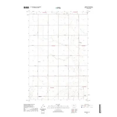
2020 Map of Deering SW
USGS Topo · Published 2020About this map
Immanuel Lutheran Cem sits within the prairie landscape of Ward County, marking a localized focal point in a region defined by its section-line roads and seasonal waterways. This 2020 survey of the Deering SW area shows the expansion of Minot and Surrey along the southern edge, where residential growth meets the traditional agricultural grid. The drainage patterns of Egg Cr and Hay Coulee dominate the central and northern sections, revealing the subtle relief of the North Dakota plains. Long-established corridors such as Co Hwy 10A and Co Hwy 21 connect these rural townships. The map provides a clear record of the intersection between modern municipal boundaries and the historic Public Land Survey System, useful for tracing family landholdings and the evolution of the local road network in the 21st century.
Find a feature on this map
28 named features on this map. Tap any name to fly to it.
Don’t see what you’re looking for? This feature index may not catch every label — zoom into the map to look around manually.
Map Details
Editions of this 2020 Deering SW Map
This is the sole edition of this map. No revisions or reprints were ever made.
Other maps of this area

1928 · Minot
USGS Topo · 1:62,500

1929 · Sawyer
USGS Topo · 1:62,500

1948 · Burlington
USGS Topo · 1:62,500

1948 · Surrey
USGS Topo · 1:24,000

1949 · Sawyer NE
USGS Topo · 1:24,000

1949 · Deering NW
USGS Topo · 1:24,000

1949 · Deering SW
USGS Topo · 1:24,000

1949 · Deering SE
USGS Topo · 1:24,000

1949 · Burlington SE
USGS Topo · 1:24,000

1949 · Surrey
USGS Topo · 1:24,000