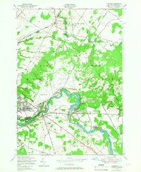
1949 Map of Deferiet
USGS Topo · Published 1967About this map
The Pine Camp Military Reservation dominates this 1949 landscape in Jefferson County, illustrating the significant military footprint in the region following World War II. The sprawling grounds of Pine Camp include Wheeler Sack Field and the site of an abandoned CCC Camp, alongside the industrial and residential pockets along the Black River. River-bound communities like Deferiet, Great Bend, and Herring are tightly integrated with the New York Central rail line, which served the local mills and infrastructure.
Find a feature on this map
41 named features on this map. Tap any name to fly to it.
Don’t see what you’re looking for? This feature index may not catch every label — zoom into the map to look around manually.
Map Details
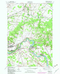
Editions of this 1949 Deferiet Map
2 editions found
Other maps of this area

1895 · Watertown
USGS Topo · 1:62,500

1898 · Watertown
USGS Topo · 1:62,500

1902 · Carthage
USGS Topo · 1:62,500

1903 · Theresa
USGS Topo · 1:62,500

1904 · Carthage
USGS Topo · 1:62,500

1908 · Watertown
USGS Topo · 1:62,500

1909 · Watertown
USGS Topo · 1:62,500

1911 · Antwerp
USGS Topo · 1:62,500

1942 · Copenhagen
USGS Topo · 1:24,000

1943 · Copenhagen
USGS Topo · 1:31,680