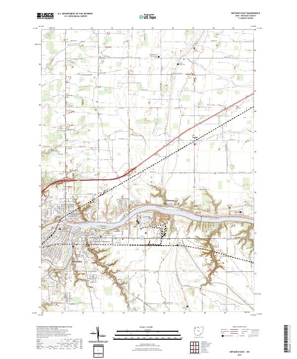
2023 Map of Defiance East
USGS Topo · Published 2023About this map
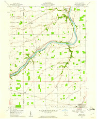
The Maumee River and Auglaize River converge in the city of Defiance, forming a geographic anchor for this corner of Northwest Ohio. The urban core is well-defined by landmarks like the Defiance County Courthouse and the campus of Defiance College, while the surrounding landscape transitions into a grid of rural townships. This survey highlights the local transportation network, from the Norfolk Southern rail lines to the North Country National Scenic Trl - Independence Dam Tow Path Trl following the river's edge.
Find a feature on this map
60 named features on this map. Tap any name to fly to it.
Don’t see what you’re looking for? This feature index may not catch every label — zoom into the map to look around manually.
Map Details
Editions of this 2023 Defiance East Map
This is the sole edition of this map. No revisions or reprints were ever made.
Other maps of this area
1907 · Defiance
USGS Topo · 1:62,500
1908 · Ottawa
USGS Topo · 1:62,500
1908 · Napoleon
USGS Topo · 1:62,500
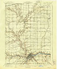
1909 · Defiance
USGS Topo · 1:62,500
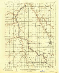
1909 · Continental
USGS Topo · 1:62,500

1953 · Fort Wayne
USGS Topo · 1:250,000

1956 · Fort Wayne
USGS Topo · 1:250,000
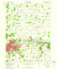
1959 · Defiance East
USGS Topo · 1:24,000
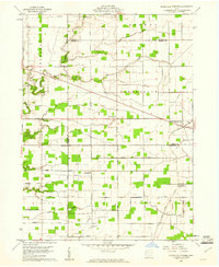
1959 · Ridgeville Corners
USGS Topo · 1:24,000
1959 · Florida
USGS Topo · 1:24,000