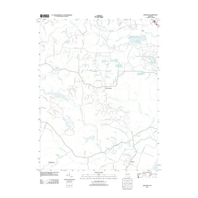
2012 Map of Defiance
USGS Topo · Published 2012About this map
Defiance sits near the southern edge of this landscape, positioned just north of the Missouri River as the valley rises toward the interior hills. The area is defined by a dense network of tributaries, including Femme Osage Creek and Callaway Fork, which shape the terrain around small settlements like Schluersburg and Mechanicsville. To the northeast, the August A Busch Wildlife Area contains a concentration of managed water bodies such as August A Busch Lake Number 7 and Kraut Run Lake, highlighting a transition from river-bottom lands to recreational conservation areas. For genealogists and local historians, the map identifies specific burial grounds like Dardenne Cemetery and Journey Cemetery, alongside family-named water features like Clyde Mosley Lake and Brommelsieck Lake, which reflect the long-standing land-use patterns of Saint Charles County.
Find a feature on this map
99 named features on this map. Tap any name to fly to it.
Don’t see what you’re looking for? This feature index may not catch every label — zoom into the map to look around manually.
Map Details
Editions of this 2012 Defiance Map
This is the sole edition of this map. No revisions or reprints were ever made.
Other maps of this area

1903 · O'Fallon
USGS Topo · 1:125,000

1931 · Brussels
USGS Topo · 1:62,500

1937 · Weldon Spring
USGS Topo · 1:24,000

1939 · Brussels
USGS Topo · 1:62,500

1940 · Eureka
USGS Topo · 1:24,000

1940 · Weldon Spring
USGS Topo · 1:24,000

1941 · Troy
USGS Topo · 1:62,500

1943 · Brussels
USGS Topo · 1:62,500

1944 · Eureka
USGS Topo · 1:24,000

1945 · Troy
USGS Topo · 1:62,500