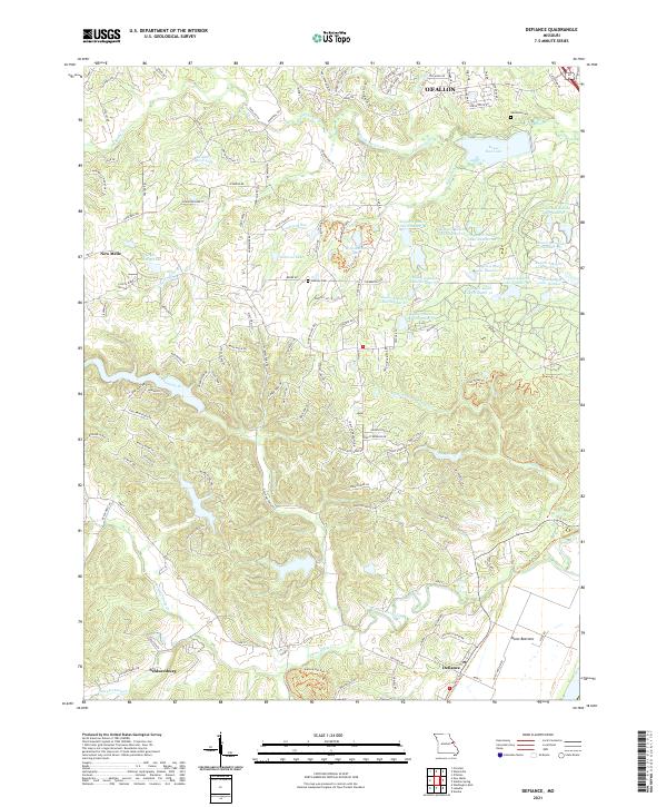
2021 Map of Defiance
USGS Topo · Published 2021About this map
Defiance and the surrounding St. Charles County countryside are defined by a complex network of waterways and managed conservation areas. The landscape is heavily marked by the Femme Osage Creek and Callaway Fork drainage systems, which cut through the southern portion of the map near the settlement of Schluersburg. To the north, the terrain transitions into the more suburbanized fringes of O'Fallon, while the central portion is dominated by an extensive series of managed bodies of water within the August A. Busch area, including August A Busch Lake Number 38 and August A Busch Lake Number 2.
Find a feature on this map
137 named features on this map. Tap any name to fly to it.
Don’t see what you’re looking for? This feature index may not catch every label — zoom into the map to look around manually.
Map Details
Editions of this 2021 Defiance Map
This is the sole edition of this map. No revisions or reprints were ever made.
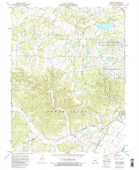
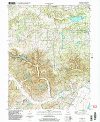
Historical Maps of Mechanicsville Through Time
3 maps found