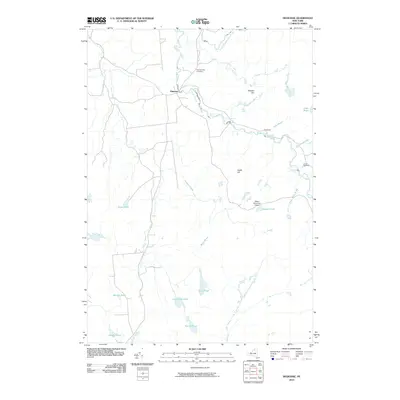
2010 Map of Degrasse
USGS Topo · Published 2010About this map
The South Branch Grass River and Middle Branch Grass River converge near the settlement of Degrasse, forming a landscape defined by significant water drops and remote ponds. This area of Saint Lawrence County is characterized by numerous waterfalls, including Basford Falls, Sinclair Falls, and Twin Falls, which mark the river's descent through the Adirondack foothills. To the east, the small settlement of Clarksboro sits near Twin Falls, while Camp Flat-Rock and Flat Rock Falls are located further into the interior.
Find a feature on this map
31 named features on this map. Tap any name to fly to it.
Don’t see what you’re looking for? This feature index may not catch every label — zoom into the map to look around manually.
Map Details
Editions of this 2010 Degrasse Map
This is the sole edition of this map. No revisions or reprints were ever made.
Other maps of this area

1915 · Russell
USGS Topo · 1:62,500

1916 · Oswegatchie
USGS Topo · 1:62,500

1918 · Russell
USGS Topo · 1:62,500

1918 · Oswegatchie
USGS Topo · 1:62,500

1919 · Cranberry Lake
USGS Topo · 1:62,500

1921 · Cranberry Lake
USGS Topo · 1:62,500

1921 · Stark
USGS Topo · 1:62,500

1923 · Stark
USGS Topo · 1:62,500

1931 · Cranberry Lake
USGS Topo · 1:62,500

1940 · Stark
USGS Topo · 1:62,500