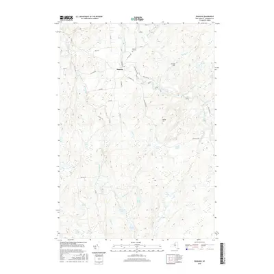
2016 Map of Degrasse
USGS Topo · Published 2016About this map
The settlement of Degrasse serves as the central hub of this northern New York landscape, situated where the South Branch Grass River and Middle Branch Grass River converge. The topography is defined by the transition into the Adirondack Park, featuring a dense network of water bodies and dramatic elevation changes. Notable cascades such as Sinclair Falls, Basford Falls, Twin Falls, and Flat Rock Falls trace the river's path, highlighting the region's hydrologic character.
Find a feature on this map
50 named features on this map. Tap any name to fly to it.
Don’t see what you’re looking for? This feature index may not catch every label — zoom into the map to look around manually.
Map Details
Editions of this 2016 Degrasse Map
This is the sole edition of this map. No revisions or reprints were ever made.
Other maps of this area

1915 · Russell
USGS Topo · 1:62,500

1916 · Oswegatchie
USGS Topo · 1:62,500

1918 · Russell
USGS Topo · 1:62,500

1918 · Oswegatchie
USGS Topo · 1:62,500

1919 · Cranberry Lake
USGS Topo · 1:62,500

1921 · Cranberry Lake
USGS Topo · 1:62,500

1921 · Stark
USGS Topo · 1:62,500

1923 · Stark
USGS Topo · 1:62,500

1931 · Cranberry Lake
USGS Topo · 1:62,500

1940 · Stark
USGS Topo · 1:62,500