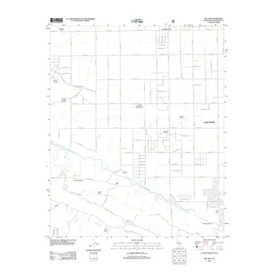
2012 Map of Del Sur
USGS Topo · Published 2012About this map
Antelope Acres and the community of Del Sur occupy a high-desert landscape defined by a rigid grid of avenues and the massive engineering of the Governor Edmund G Brown California Aqueduct. The map reveals a transition from the structured residential outskirts of Lancaster to large-scale land uses like the University of California Agricultural Field and private holdings such as the Eric Munz Ranch and Cochems Ranch.
Find a feature on this map
80 named features on this map. Tap any name to fly to it.
Don’t see what you’re looking for? This feature index may not catch every label — zoom into the map to look around manually.
Map Details
Editions of this 2012 Del Sur Map
This is the sole edition of this map. No revisions or reprints were ever made.
Other maps of this area

1915 · Elizabeth Lake
USGS Topo · 1:125,000

1917 · Elizabeth Lake
USGS Topo · 1:125,000

1931 · Little Buttes
USGS Topo · 1:24,000

1931 · Del Sur
USGS Topo · 1:24,000

1931 · Esperanza School
USGS Topo · 1:24,000

1932 · Lake
USGS Topo · 1:24,000

1934 · Little Buttes
USGS Topo · 1:24,000

1934 · Esperanza School
USGS Topo · 1:24,000
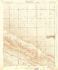
1936 · Del Sur
USGS Topo · 1:24,000
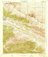
1937 · Lake
USGS Topo · 1:24,000