
1934 Map of Esperanza School
USGS Topo · Published 1934About this map
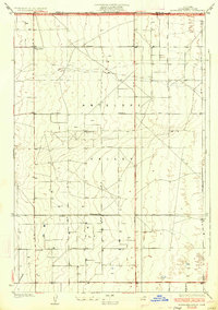
Antelope Valley spreads across the northern edge of Los Angeles County in the early 1930s, defined by a rigid grid of avenues and the presence of scattered agricultural development. Surveyed by A. Fankhauser, the area is characterized by numerous groundwater extraction points, marked simply as Well, which supported the early 20th-century homesteads and farming operations in this arid landscape. The map serves as a vital record for genealogists, identifying early social centers like the Japanese Ch, Rogers Sch, and Esperanza Sch. The industrial footprint of the era is visible through a prominent Transmission Line and a dedicated Sub-Station, reflecting the electrification of the high desert near the Kern Co Los Angeles Co boundary. The terrain is largely flat, punctuated only by the distinct rise of the Little Buttes to the west.
Find a feature on this map
11 named features on this map. Tap any name to fly to it.
Don’t see what you’re looking for? This feature index may not catch every label — zoom into the map to look around manually.
Map Details
Editions of this 1934 Esperanza School Map
3 editions found
Other maps of this area

1915 · Elizabeth Lake
USGS Topo · 1:125,000

1917 · Elizabeth Lake
USGS Topo · 1:125,000

1930 · Oban
USGS Topo · 1:24,000

1930 · Lancaster
USGS Topo · 1:24,000

1931 · Little Buttes
USGS Topo · 1:24,000

1931 · Del Sur
USGS Topo · 1:24,000

1931 · Esperanza School
USGS Topo · 1:24,000

1932 · Lake
USGS Topo · 1:24,000

1933 · Lancaster
USGS Topo · 1:24,000

1933 · Oban
USGS Topo · 1:24,000